-
Nautical Twilight begins:Sunrise:
-
Sunset:Nautical Twilight ends:
-
Moonrise:
-
Moonset:
-
Moon over:
-
Moon under:
-
Visibility:3%
-
 New Moon
-
Distance to earth:398,562 kmProximity:16.7 %
Moon Phases for Virginia
-
average Day
-
minor Time:04:40 am - 06:40 am
-
major Time:10:31 am - 12:31 pm
-
minor Time:
 04:22 pm -
06:22 pm
-
major Time:11:05 pm - 01:05 am
Wind Speed and Direction
Wind Direction:
Wind Speed:
Wind Direction and Speed are one of the most important aspects for choosing a fishing spot. An offshore wind can help land-based anglers with longer casting distances, while an onshore wind will make kayak fishing safer. Often fish will also move to certain feeding areas depending on the wind direction. Check out the long term wind forecast at the charts below.
Fishing Barometer
Atmospheric Pressure:
Change since midnight:
Trend for next 6 hours:
Atmospheric or Barometric Pressure affects fish activity. The best fishing can be had on a rising barometer and also the time just before it is falling. A steady barometer in the higher ranges can also mean good fishing. A falling or low barometer reading without much change is usually not a very good time for fishing.
UV Effect on Fishing
As a rule of thumb, the higher the UV index, the deeper fish will move. Shallow water fishing is best done at times with a low UV index. When the UV is high, stick to early mornings, late evenings and shaded areas. The effect is less noticable in deeper water, but often a higher UV index can produce good results in the deep.
| Date | Major Bite Times | Minor Bite Times | Sun | Moon | Moonphase |
|---|---|---|---|---|---|
|
|
-
-
|
-
-
|
R: S: |
R: S: |
New Moon |
|
|
-
-
|
-
-
|
R: S: |
R: S: |
New Moon |
|
|
-
-
|
-
-
|
R: S: |
R: S: |
New Moon |
|
|
-
-
|
-
-
|
R: S: |
R: S: |
New Moon |
|
|
-
-
|
-
-
|
R: S: |
R: S: |
Waxing Crescent |
|
|
-
-
|
-
-
|
R: S: |
R: S: |
Waxing Crescent |
|
|
-
-
|
-
-
|
R: S: |
R: S: |
Waxing Crescent |
October Fishing Report
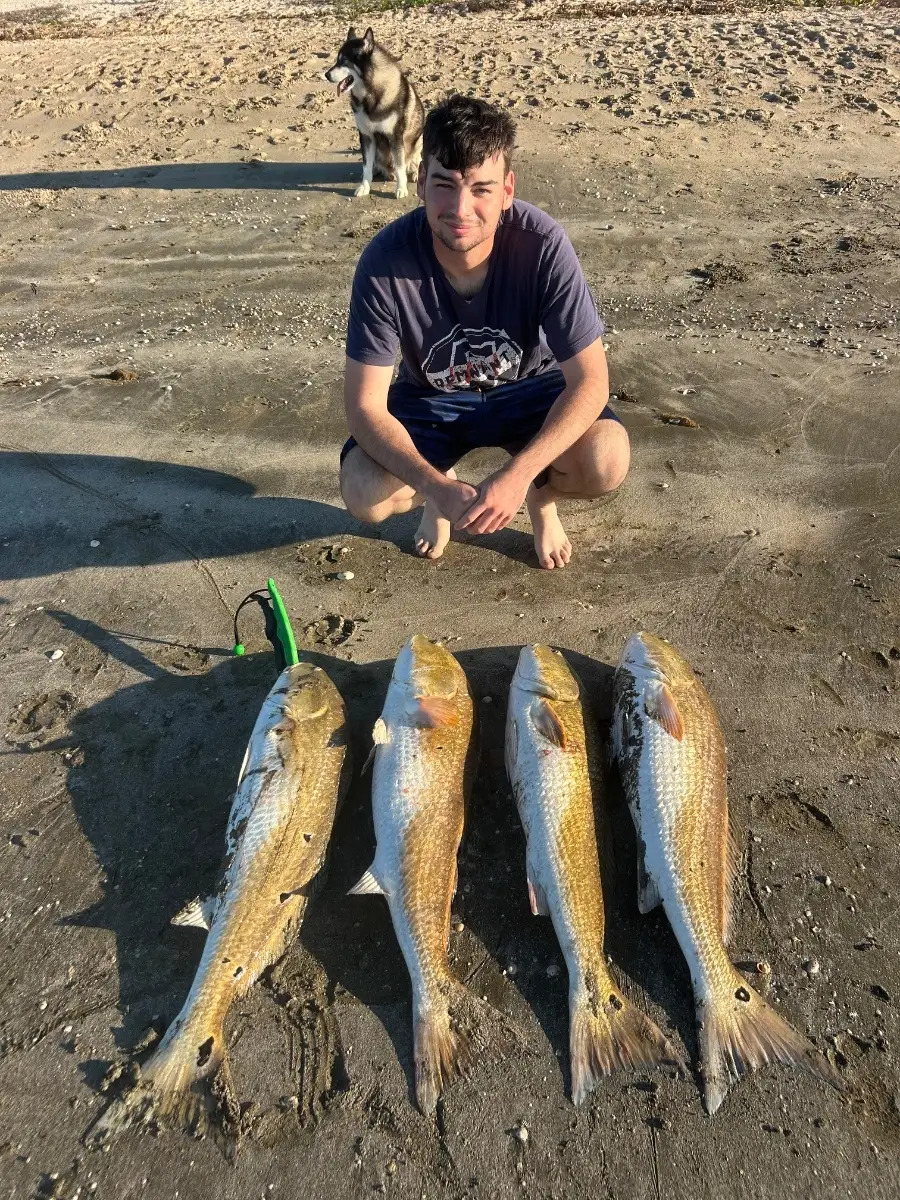
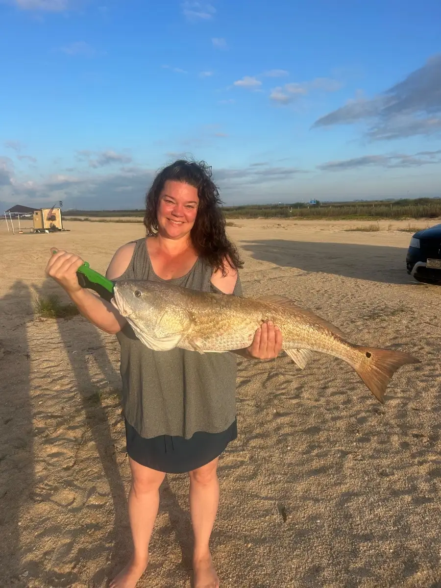
Cooler October water has Chesapeake Bay and coastal rivers turning on. Schooling striped bass are pushing bait along channel edges at dawn and dusk; work points with topwaters early, then switch to soft swimbaits or bucktails on moving tides. Speckled trout and red drum are active on grass flats and creek mouths; suspending twitchbaits and shrimp imitations excel, while cut bait tempts roaming bluefish.
Inshore wrecks and nearshore rips hold false albacore—watch for surface feeds and cast small metals fast. After windy spells, stained water favors brighter profiles; when it clears, natural hues produce more bites.
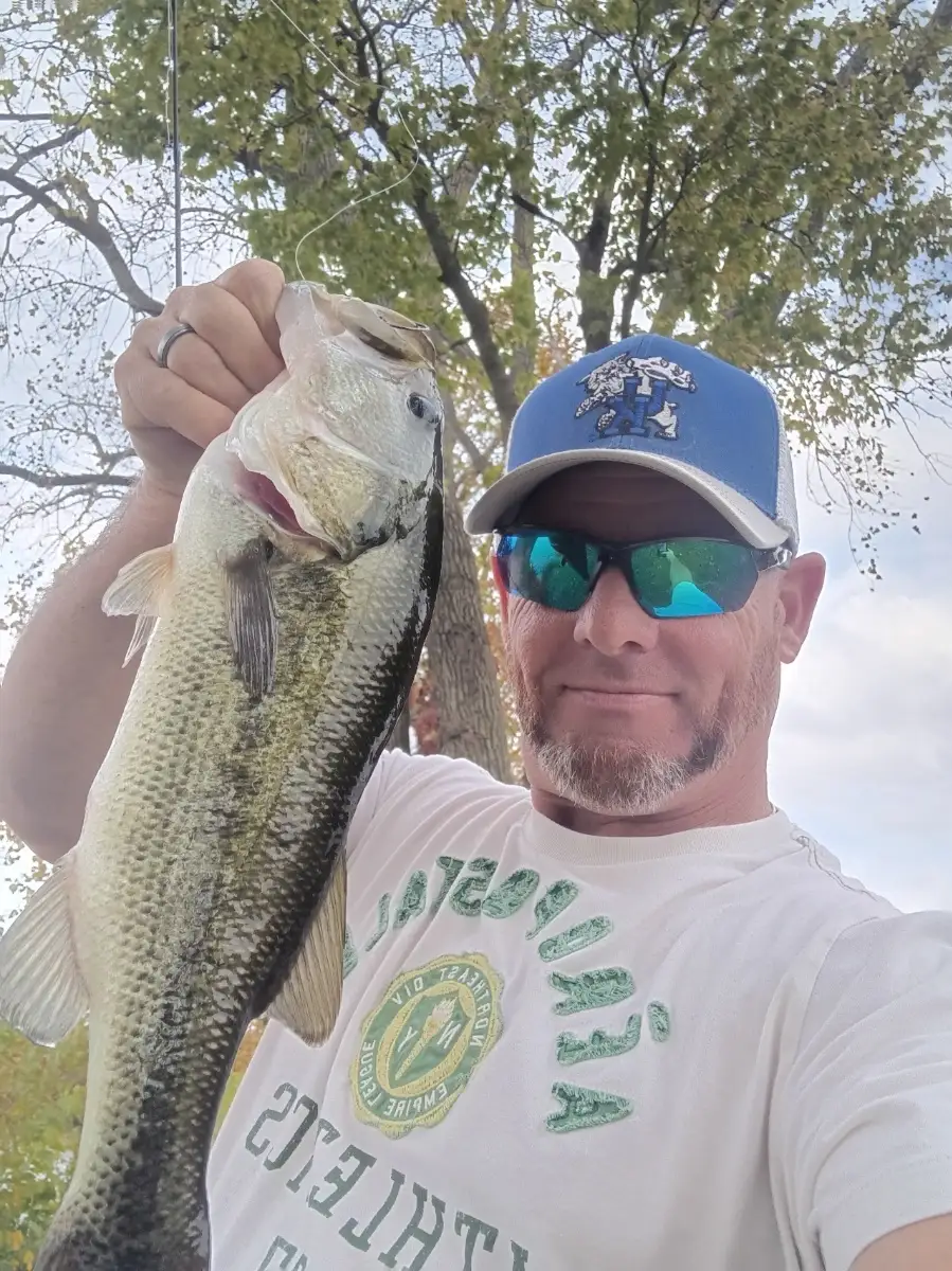
Freshwater is steady statewide. Smallmouth bass on the James and New chase crayfish along rocky seams; finesse jigs and ned rigs shine under high pressure. Reservoirs like Smith Mountain and Lake Anna see largemouth pushing shad shallow—spinnerbaits and squarebills around wind-blown banks. Crappie stack on mid-depth brush; small jigs in pearl or chartreuse are reliable. Big blue catfish bite well on fresh cut shad during stable weather.
Top tip: Track overnight lows—when mornings stay above 50°F for a few days, expect a consistent shallow bite; drop back to deeper edges after sharp cold fronts.
Best Fishing Spots in the greater Virginia area
We found a total of 40 potential fishing spots nearby Virginia. Below you can find them organized on a map. Points, Headlands, Reefs, Islands, Channels, etc can all be productive fishing spots. As these are user submitted spots, there might be some errors in the exact location. You also need to cross check local fishing regulations. Some of the spots might be in or around marine reserves or other locations that cannot be fished. If you click on a location marker it will bring up some details and a quick link to google search, satellite maps and fishing times. Tip: Click/Tap on a new area to load more fishing spots.
Virginia Lake - 0.82327695703km , Manganika Lake - 4.1903271273km , Mashkenode Lake - 4.99708008382km , Fayal Pond - 6.81023041914km , Majestic Lake - 9.35677399401km , Kendall Lake - 10.14157742083km , Saint Marys Lake - 10.39641845766km , Admiral Lake - 10.66466609901km , Little Sandy Lake - 11.85890549468km , Kapla Lake - 12.18843960094km , Doherty Lake - 12.38186323277km , Britt Creek - 12.76734157284km , Forge Lake - 12.8566188955km , Yates Lake - 13.06115509838km , Kalleva Island - 13.38818662428km , Salt Lake - 13.91467455006km , Harvey Lake - 14.29220040966km , Mulden Lake - 14.47416444399km , Keenan Lake - 14.51068399821km , New Richmond Lake - 14.57149289369km , Esquagama Lake - 15.05473594132km , Wagon Wheel Lake - 15.06574069901km , Little Esquagama Lake - 15.14077455413km , Little Jammer Lake - 15.58636398901km , Sand River - 15.78746684403km , Jammer Lake - 15.85723196251km , Ely Creek - 15.96042585903km , Wouri Creek - 16.09577383879km , Borg Lake - 16.12938592138km , Long Lake Creek - 16.66216104743km , Severson Lake - 16.8802087416km , Lola Lake - 16.97066386762km , Embarrass Lake - 17.02026166892km , Embarrass River - 17.08271135243km , Bradley Island - 17.36192012964km , Mud Hen Creek - 17.54523692904km , Heikkala Lake - 17.62305046946km , McNiven Lake - 18.28587651438km , Little Tony Lake - 18.37458407779km , McNiven Creek - 18.47580395248km




Comments