


-
Nautical Twilight begins:Sunrise:
-
Sunset:Nautical Twilight ends:
-
Moonrise:
-
Moonset:
-
Moon over:
-
Moon under:
-
Visibility:15%
-
 Waxing Crescent
-
Distance to earth:403,562 kmProximity:5 %
Moon Phases for Searsmont
-
good Day
-
major Time:02:03 am - 04:03 am
-
minor Time:10:29 am - 12:29 pm
-
major Time:02:30 pm - 04:30 pm
-
minor Time:06:32 pm - 08:32 pm
Tide Clock
Tide Graph
Times
| Tide | Time | Height |
|---|---|---|
| high | 01:50 am | 9.35 ft |
| low | 07:39 am | 1.77 ft |
| high | 01:48 pm | 10.33 ft |
| low | 08:15 pm | 0.82 ft |
Wind Speed and Direction
Wind Direction:
Wind Speed:
Wind Direction and Speed are one of the most important aspects for choosing a fishing spot. An offshore wind can help land-based anglers with longer casting distances, while an onshore wind will make kayak fishing safer. Often fish will also move to certain feeding areas depending on the wind direction. Check out the long term wind forecast at the charts below.
Fishing Barometer
Atmospheric Pressure:
Change since midnight:
Trend for next 6 hours:
Atmospheric or Barometric Pressure affects fish activity. The best fishing can be had on a rising barometer and also the time just before it is falling. A steady barometer in the higher ranges can also mean good fishing. A falling or low barometer reading without much change is usually not a very good time for fishing.
UV Effect on Fishing
As a rule of thumb, the higher the UV index, the deeper fish will move. Shallow water fishing is best done at times with a low UV index. When the UV is high, stick to early mornings, late evenings and shaded areas. The effect is less noticable in deeper water, but often a higher UV index can produce good results in the deep.
| Date | Major Bite Times | Minor Bite Times | Sun | Moon | Moonphase | Tide Times |
|---|---|---|---|---|---|---|
|
|
-
-
|
-
-
|
R: S: |
R: S: |
Waxing Crescent |
high:
, 9.35 ft
, Coeff: 89
low:
, 1.77 ft
high:
, 10.33 ft
, Coeff: 106
low:
, 0.82 ft
|
|
|
-
-
|
-
-
|
R: S: |
R: S: |
Waxing Crescent |
high:
, 9.02 ft
, Coeff: 83
low:
, 2.03 ft
high:
, 10.1 ft
, Coeff: 102
low:
, 1.08 ft
|
|
|
-
-
|
-
-
|
R: S: |
R: S: |
Waxing Crescent |
high:
, 8.73 ft
, Coeff: 77
low:
, 2.26 ft
high:
, 9.88 ft
, Coeff: 98
low:
, 1.31 ft
|
|
|
-
-
|
-
-
|
R: S: |
R: S: |
First Quarter Moon |
high:
, 8.56 ft
, Coeff: 74
low:
, 2.43 ft
high:
, 9.71 ft
, Coeff: 95
low:
, 1.44 ft
|
|
|
-
-
|
-
-
|
R: S: |
R: S: |
First Quarter Moon |
high:
, 8.53 ft
, Coeff: 74
low:
, 2.43 ft
high:
, 9.65 ft
, Coeff: 94
low:
, 1.38 ft
|
|
|
-
-
|
-
-
|
R: S: |
R: S: |
First Quarter Moon |
high:
, 8.76 ft
, Coeff: 78
low:
, 2.23 ft
high:
, 9.74 ft
, Coeff: 96
|
|
|
-
-
|
-
-
|
R: S: |
R: S: |
Waxing Gibbous |
low:
, 1.18 ft
high:
, 9.19 ft
, Coeff: 86
low:
, 1.8 ft
high:
, 10.01 ft
, Coeff: 100
|
Best Fishing Spots in the greater Searsmont area
We found a total of 40 potential fishing spots nearby Searsmont. Below you can find them organized on a map. Points, Headlands, Reefs, Islands, Channels, etc can all be productive fishing spots. As these are user submitted spots, there might be some errors in the exact location. You also need to cross check local fishing regulations. Some of the spots might be in or around marine reserves or other locations that cannot be fished. If you click on a location marker it will bring up some details and a quick link to google search, satellite maps and fishing times. Tip: Click/Tap on a new area to load more fishing spots.
Quantabacook Lake Dam - 1.23412079343km , Maple Meadow - 2.11943544027km , Robbins Mill Dam - 2.75896136995km , Lawry Pond - 3.3146214948km , Stearns Brook - 3.8072491146km , Whitney Bog - 3.90317098654km , Jam Brook - 4.36878850341km , Witcher Swamp - 4.73138690136km , Luce Brook - 5.40048014091km , Ruffingham Meadows Dam - 5.84652100995km , Levenseller Pond - 6.13270223973km , Battle Bridge Brook - 6.28045646128km , Trues Pond Dam - 6.44960394999km , Greers Bog - 6.50439901146km , Dolliff Pond - 6.77729561495km , Newbert Pond - 7.01900545129km , Harriet Brook - 7.16871794759km , Smiths Millpond Bog - 7.39877454757km , Cedar Swamp - 7.76325717263km , Cross Pond - 8.06220355081km , Jackson Meadow - 8.15039990611km , The Pool - 8.39130305191km , Hayford Bog - 8.4278198209km , Pease Brook - 8.42871485477km , Poland Stream - 8.57764852294km , Stevens Pond Dam - 8.93456227318km , Appleton Ridge Pond Dam - 9.06851661223km , Kingdom Bog Dam - 9.3920247316km , Smiths Millpond Dam - 9.59727812539km , Simmons Brook - 9.65908883706km , Pettengill Marsh Dam - 9.99162133237km , Norton Pond - 10.2860213357km , Saint George Lake Dam - 10.43936140741km , Marriners Brook - 10.78862829232km , Mullin Bog - 10.87363541154km , Cargill Pond - 11.07551158666km , Kelly Island - 11.35198283284km , Pitcher Pond Dam - 11.52266999621km , Mansfield Pond - 12.05251759273km , Coleman Pond Dam - 12.34198790341km
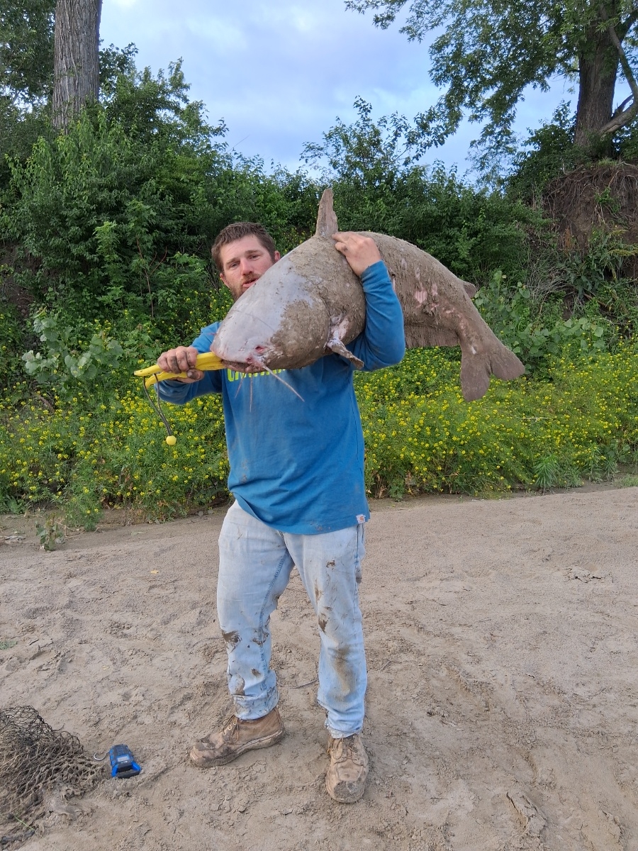
uploaded by: Mr catch it

uploaded by: tajiran

uploaded by: tajiran

uploaded by: tajiran

uploaded by: Charlie Pifer

uploaded by: Wet Patch

uploaded by: dazzling79

uploaded by: benoit johnson_1

uploaded by: benoit johnson_1

uploaded by: benoit johnson_1
")


Comments