

Sagamore Beach 🇺🇸
-
Nautical Twilight begins:04:35 amSunrise:05:40 am
-
Sunset:07:39 pmNautical Twilight ends:08:44 pm
-
Moonrise:05:51 am
-
Moonset:09:18 pm
-
Moon over:01:34 pm
-
Moon under:01:14 am
-
Visibility:1%
-
 New Moon
-
Distance to earth:364,076 kmProximity:97.7 %
Moon Phases for Sagamore Beach
-
excellent Day
-
major Time:12:14 am - 02:14 am
-
minor Time:
 04:51 am -
06:51 am
04:51 am -
06:51 am
-
major Time:12:34 pm - 02:34 pm
-
minor Time:08:18 pm - 10:18 pm
Tide Clock
Tide Graph
Times
| Tide | Time | Height |
|---|---|---|
| low | 06:01 am | -1.64 ft |
| high | 12:05 pm | 9.09 ft |
| low | 06:16 pm | -0.66 ft |
| Date | Major Bite Times | Minor Bite Times | Sun | Moon | Moonphase | Tide Times |
|---|---|---|---|---|---|---|
|
Mon, 28 Apr
|
12:14 am -
02:14 am
12:34 pm -
02:34 pm
|
04:51 am -
06:51 am
08:18 pm -
10:18 pm
|
R: 05:40 am S: 07:39 pm |
R: 05:51 am S: 09:18 pm |
New Moon |
low: 06:01 am
, -1.64 ft
high: 12:05 pm
, 9.09 ft
, Coeff: 133
low: 06:16 pm
, -0.66 ft
|
|
Tue, 29 Apr
|
01:09 am -
03:09 am
01:34 pm -
03:34 pm
|
05:30 am -
07:30 am
09:39 pm -
11:39 pm
|
R: 05:39 am S: 07:40 pm |
R: 06:30 am S: 10:39 pm |
Waxing Crescent |
high: 12:18 am
, 10.14 ft
, Coeff: 158
low: 06:52 am
, -1.71 ft
high: 12:57 pm
, 8.92 ft
, Coeff: 129
low: 07:06 pm
, -0.46 ft
|
|
Wed, 30 Apr
|
02:04 am -
04:04 am
02:35 pm -
04:35 pm
|
06:20 am -
08:20 am
10:51 pm -
12:51 am
|
R: 05:38 am S: 07:41 pm |
R: 07:20 am S: 11:51 pm |
Waxing Crescent |
high: 01:08 am
, 10.04 ft
, Coeff: 155
low: 07:45 am
, -1.51 ft
high: 01:51 pm
, 8.63 ft
, Coeff: 122
low: 07:57 pm
, -0.13 ft
|
|
Thu, 01 May
|
03:00 am -
05:00 am
03:35 pm -
05:35 pm
|
07:21 am -
09:21 am
11:49 pm -
01:49 am
|
R: 05:36 am S: 07:42 pm |
R: 08:21 am S: - |
Waxing Crescent |
high: 02:01 am
, 9.74 ft
, Coeff: 148
low: 08:38 am
, -1.12 ft
high: 02:46 pm
, 8.27 ft
, Coeff: 114
low: 08:51 pm
, 0.33 ft
|
|
Fri, 02 May
|
04:10 am -
06:10 am
04:46 pm -
06:46 pm
|
08:31 am -
10:31 am
11:49 pm -
01:49 am
|
R: 05:35 am S: 07:43 pm |
R: 09:31 am S: 12:49 am |
Waxing Crescent |
high: 02:56 am
, 9.28 ft
, Coeff: 138
low: 09:34 am
, -0.56 ft
high: 03:44 pm
, 7.87 ft
, Coeff: 105
low: 09:48 pm
, 0.79 ft
|
|
Sat, 03 May
|
05:08 am -
07:08 am
05:44 pm -
07:44 pm
|
12:34 am -
02:34 am
09:43 am -
11:43 am
|
R: 05:34 am S: 07:44 pm |
R: 10:43 am S: 01:34 am |
First Quarter Moon |
high: 03:55 am
, 8.76 ft
, Coeff: 125
low: 10:32 am
, 0 ft
high: 04:45 pm
, 7.55 ft
, Coeff: 97
low: 10:48 pm
, 1.18 ft
|
|
Sun, 04 May
|
06:01 am -
08:01 am
06:35 pm -
08:35 pm
|
01:08 am -
03:08 am
10:54 am -
12:54 pm
|
R: 05:32 am S: 07:45 pm |
R: 11:54 am S: 02:08 am |
First Quarter Moon |
high: 04:58 am
, 8.27 ft
, Coeff: 114
low: 11:34 am
, 0.49 ft
high: 05:48 pm
, 7.38 ft
, Coeff: 93
low: 11:52 pm
, 1.44 ft
|
")


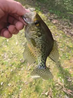
uploaded by: Joey Piercefield

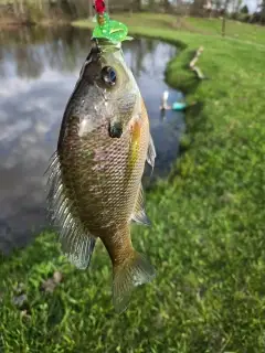
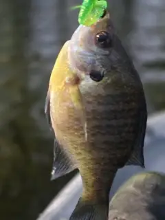
uploaded by: Joey Piercefield

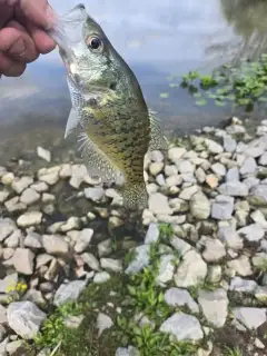
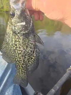
uploaded by: Joey Piercefield

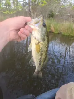
uploaded by: Joey Piercefield

uploaded by: Joey Piercefield

uploaded by: Joey Piercefield

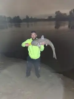
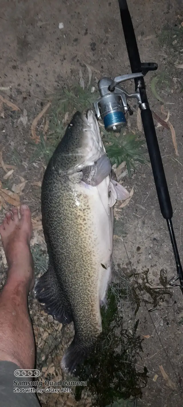
uploaded by: Mr catch it
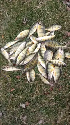
uploaded by: Graeme Lhuillier

uploaded by: Tony Barker_1

uploaded by: Zander Paul Slabber
Best Fishing Spots in the greater Sagamore Beach area
Beaches and Bays are ideal places for land-based fishing. If the beach is shallow and the water is clear then twilight times are usually the best times, especially when they coincide with a major or minor fishing time. Often the points on either side of a beach are the best spots. Or if the beach is large then look for irregularities in the breaking waves, indicating sandbanks and holes. We found 9 beaches and bays in this area.
Sagamore Beach - 1km , Scusset Beach - 3km , Town Beach - 5km , Springhill Brook - 6km , Little Buttermilk Bay - 7km , Surfside Beach - 8km , Springhill Beach - 8km , East Sandwich Beach - 8km , Buttermilk Bay - 9km
Harbours and Marinas can often times be productive fishing spots for land based fishing as their sheltered environment attracts a wide variety of bait fish. Similar to river mouths, harbour entrances are also great places to fish as lots of fish will move in and out with the rising and falling tides. There are 5 main harbours in this area.
Scusset Harbor - 4km, East Boat Basin - 4km, Sandwich Marina - 4km, Ellisville Harbor - 5km, Sandwich Harbor - 6km
We found a total of 96 potential fishing spots nearby Sagamore Beach. Below you can find them organized on a map. Points, Headlands, Reefs, Islands, Channels, etc can all be productive fishing spots. As these are user submitted spots, there might be some errors in the exact location. You also need to cross check local fishing regulations. Some of the spots might be in or around marine reserves or other locations that cannot be fished. If you click on a location marker it will bring up some details and a quick link to google search, satellite maps and fishing times. Tip: Click/Tap on a new area to load more fishing spots.
Sagamore Beach - 1km , Great Herring Pond - 3km , Scusset Beach - 3km , Black Pond - 3km , Sagamore Bridge - 3km , Elbow Pond - 4km , Scusset Harbor - 4km , Hedges Pond - 4km , Island Pond - 4km , East Boat Basin - 4km , Sandwich Marina - 4km , Foundry Pond - 4km , Town Beach - 5km , Pickerel Pond - 5km , Ellisville Harbor - 5km , Mountain Hill Bogs - 5km , Morton Pond - 5km , Triangle Pond - 5km , Black Jimmy Pond - 5km , Salt Pond - 5km , Cemetery Point - 5km , Little Herring Pond - 5km , Cape Cod Canal - 5km , Town Neck - 6km , Shawme Lake - 6km , Covel Pond - 6km , Grassy Pond - 6km , Horse Pond - 6km , Upper Shawme Lake - 6km , Goat Pasture Pond - 6km , Long Duck Pond - 6km , Savery Pond - 6km , Little Sandy Pond - 6km , Springhill Brook - 6km , Big Rocky Pond - 6km , Big Sandy Pond - 6km , Whites Pond - 6km , Black Pond (historical) - 6km , Center Hill Pond - 6km , Bourne Bridge - 6km , Sandwich Harbor - 6km , Little Duck Pond - 6km , Great Maring Pond - 7km , Wall Pond - 7km , Dierks Pond - 7km , Gibbs Pond (historical) - 7km , Jakes Pond - 7km , Doughnut Pond - 7km , Center Hill Point - 7km , Dugway Pond - 7km , Little Buttermilk Bay - 7km , Weeks Pond - 7km , Little Rocky Pond - 7km , Bloody Pond - 7km , Ellis Pond - 7km , Nightingale Pond - 7km , Ezekiel Pond - 7km , Ship Pond - 8km , Lilly Pond - 8km , Gibbs Narrows - 8km , Surfside Beach - 8km , Bourne Pond - 8km , Nye Bog Reservoir Dam - 8km , Gibbs Neck - 8km , White Island Pond Dam - 8km , Great Pond - 8km , Springhill Beach - 8km , Deer Pond - 8km , Bennett Pond - 8km , Deep Bottom Pond - 8km , East Sandwich Beach - 8km , Queen Sewell Pond - 8km , Scorton Neck - 8km , Mare Pond - 8km , Hathaway Pond - 8km , Morey Hole - 8km , Little Halfway Pond - 9km , Briggs Reservoir Number 2 - 9km , Round Pond - 9km , Donnely Pond - 9km , Rocky Pond - 9km , Savery Grassy Pond - 9km , Buttermilk Bay - 9km , Long Pond - 9km , Railroad Bridge - 9km , Ox Pond - 9km , Queen Sewell Cove - 9km , Fawn Pond - 9km , Bartlett Pond - 9km , Cotton Pond - 9km , Plowed Neck - 9km , Halfway Pond - 9km , Taylor Point - 10km , Peters Neck - 10km , Glen Charlie Pond Dam - 10km , Gallows Pond - 10km
Comments