-
Nautical Twilight begins:Sunrise:
-
Sunset:Nautical Twilight ends:
-
Moonrise:
-
Moonset:
-
Moon over:
-
Moon under:
-
Visibility:9%
-
 Waxing Crescent
-
Distance to earth:404,960 kmProximity:1.7 %
Moon Phases for Rockport
-
excellent Day
-
major Time:02:05 am - 04:05 am
-
minor Time:09:26 am - 11:26 am
-
major Time:02:34 pm - 04:34 pm
-
minor Time:07:42 pm - 09:42 pm
Tide Clock
Tide Graph
Times
| Tide | Time | Height |
|---|---|---|
| high | 03:59 am | 0.75 ft |
| low | 03:06 pm | 0.39 ft |
Wind Speed and Direction
Wind Direction:
Wind Speed:
Wind Direction and Speed are one of the most important aspects for choosing a fishing spot. An offshore wind can help land-based anglers with longer casting distances, while an onshore wind will make kayak fishing safer. Often fish will also move to certain feeding areas depending on the wind direction. Check out the long term wind forecast at the charts below.
Fishing Barometer
Atmospheric Pressure:
Change since midnight:
Trend for next 6 hours:
Atmospheric or Barometric Pressure affects fish activity. The best fishing can be had on a rising barometer and also the time just before it is falling. A steady barometer in the higher ranges can also mean good fishing. A falling or low barometer reading without much change is usually not a very good time for fishing.
UV Effect on Fishing
As a rule of thumb, the higher the UV index, the deeper fish will move. Shallow water fishing is best done at times with a low UV index. When the UV is high, stick to early mornings, late evenings and shaded areas. The effect is less noticable in deeper water, but often a higher UV index can produce good results in the deep.
| Date | Major Bite Times | Minor Bite Times | Sun | Moon | Moonphase | Tide Times |
|---|---|---|---|---|---|---|
|
|
-
-
|
-
-
|
R: S: |
R: S: |
Waxing Crescent |
high:
, 0.75 ft
, Coeff: 303
low:
, 0.39 ft
|
|
|
-
-
|
-
-
|
R: S: |
R: S: |
Waxing Crescent |
high:
, 0.75 ft
, Coeff: 303
low:
, 0.39 ft
|
|
|
-
-
|
-
-
|
R: S: |
R: S: |
Waxing Crescent |
high:
, 0.75 ft
, Coeff: 303
low:
, 0.39 ft
|
|
|
-
-
|
-
-
|
R: S: |
R: S: |
First Quarter Moon |
high:
, 0.75 ft
, Coeff: 303
low:
, 0.39 ft
|
|
|
-
-
|
-
-
|
R: S: |
R: S: |
First Quarter Moon |
high:
, 0.75 ft
, Coeff: 303
low:
, 0.39 ft
|
|
|
-
-
|
-
-
|
R: S: |
R: S: |
First Quarter Moon |
high:
, 0.75 ft
, Coeff: 303
low:
, 0.39 ft
|
|
|
-
-
|
-
-
|
R: S: |
R: S: |
First Quarter Moon |
high:
, 0.72 ft
, Coeff: 287
low:
, 0.43 ft
|
October Fishing Report
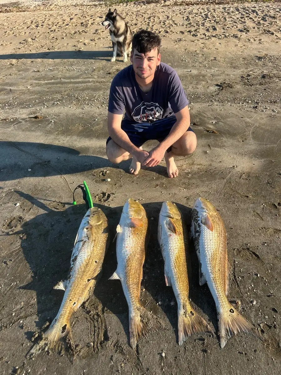
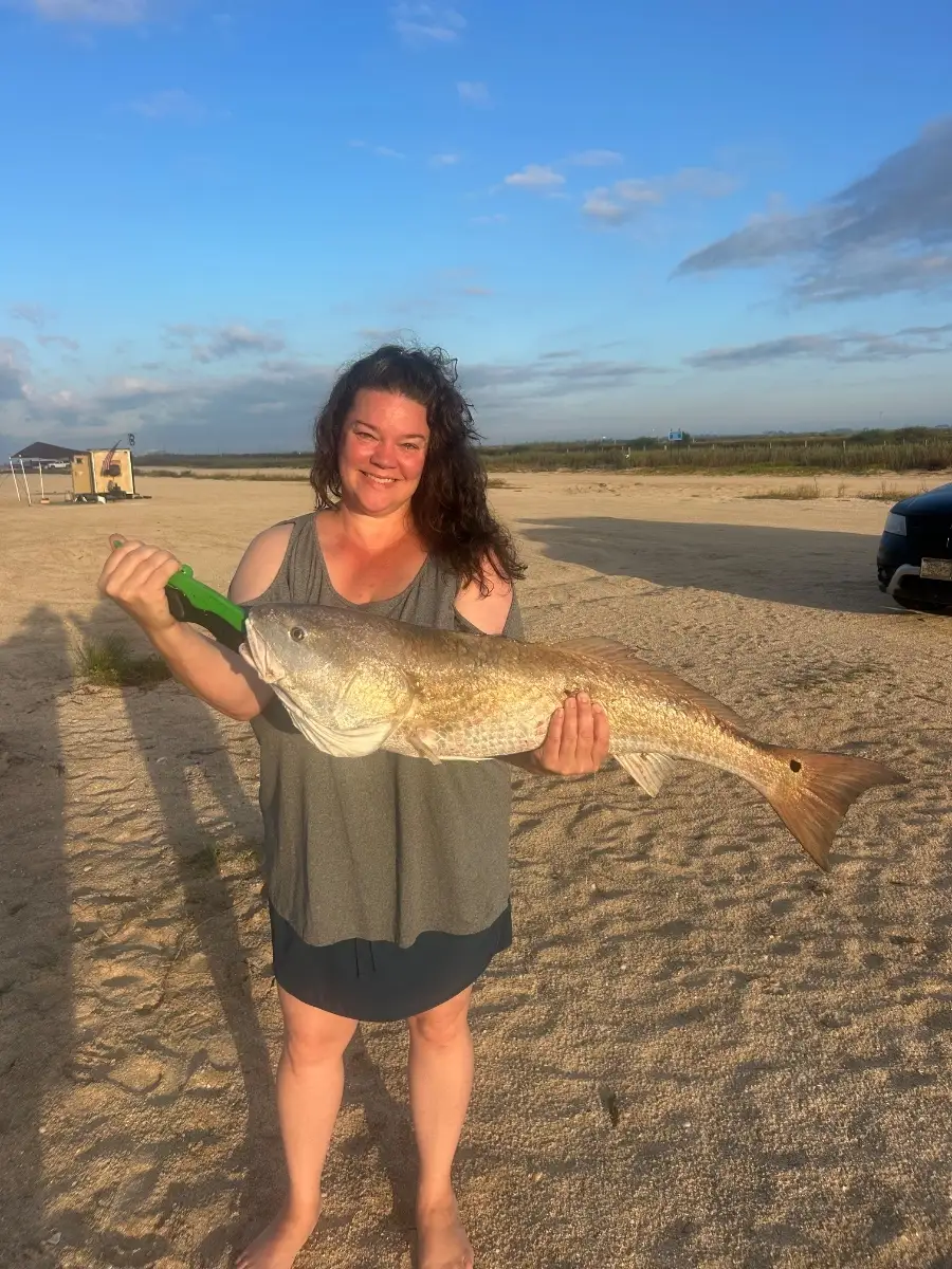
October brings cooler mornings and active bait in Rockport’s Aransas and Copano bays. Look for slicks and working birds over shell. Speckled trout are feeding on drop-offs and windward reefs at first light; topwaters early, then soft-plastic paddletails or live shrimp under a popping cork as the sun rises. Redfish are cruising shallow grass and marsh drains on an outgoing tide; gold spoons, weedless plastics, and cut mullet all score. Flounder stack near channel edges and sandy potholes ahead of their fall push—slow-roll a jig tipped with shrimp or Gulp.
Best bite windows are dawn and late afternoon, especially with moving water after a light north wind from early fronts. On calm days, downsize leaders for clearer water; when it’s breezy, target wind-blown points where bait is pinned. Estes Flats and nearby shorelines with mixed sand/grass are productive.
Top tip: Find marsh drains at low tide and mark them—return on the next strong outgoing tide to ambush reds and flounder funneling bait through those chokepoints.
Best Fishing Spots in the greater Rockport area
Beaches and Bays are ideal places for land-based fishing. If the beach is shallow and the water is clear then twilight times are usually the best times, especially when they coincide with a major or minor fishing time. Often the points on either side of a beach are the best spots. Or if the beach is large then look for irregularities in the breaking waves, indicating sandbanks and holes. We found 8 beaches and bays in this area.
Rockport Beach - 2.29280395058km , Little Bay - 3.10866133815km , Aransas Bay - 7.51161189522km , Port Bay - 8.47200014359km , Copano Bay - 12.14608081549km , Quarantine Shore - 12.43464014452km , Redfish Bay - 13.47446111353km , McCampbell Slough - 14.11552226535km
Harbours and Marinas can often times be productive fishing spots for land based fishing as their sheltered environment attracts a wide variety of bait fish. Similar to river mouths, harbour entrances are also great places to fish as lots of fish will move in and out with the rising and falling tides. There are 9 main harbours in this area.
Aransas County Navigation District Marina - 1.10080558642km, Rockport Beach - 2.29280395058km, Key Allegro Isle Marina - 3.82291797127km, Palm Harbor Marina - 6.44098308035km, Sandollar Marina - 6.48582353283km, Port Bay - 8.47200014359km, Conn Brown Harbor - 14.13624340708km, Neptune Harbor - 14.18995425394km, Fin and Feather Marina - 15.38190347657km
We found a total of 40 potential fishing spots nearby Rockport. Below you can find them organized on a map. Points, Headlands, Reefs, Islands, Channels, etc can all be productive fishing spots. As these are user submitted spots, there might be some errors in the exact location. You also need to cross check local fishing regulations. Some of the spots might be in or around marine reserves or other locations that cannot be fished. If you click on a location marker it will bring up some details and a quick link to google search, satellite maps and fishing times. Tip: Click/Tap on a new area to load more fishing spots.
Aransas County Navigation District Marina - 1.10080558642km , Rockport Beach - 2.29280395058km , Little Bay - 3.10866133815km , The Cove - 3.17660677254km , Key Allegro Isle Marina - 3.82291797127km , Key Allegro - 3.83345814746km , Canoe Lake - 4.08735959355km , Talley Island - 5.60865213987km , Estes Cove - 5.92458379651km , Palm Harbor Marina - 6.44098308035km , Sandollar Marina - 6.48582353283km , Aransas Bay - 7.51161189522km , Traylor Island - 7.9120678714km , Port Bay - 8.47200014359km , Allyns Lake - 8.62057328052km , Allyns Bight - 9.22637000991km , Shellbank Island - 10.72708757841km , California Hole - 10.80057112661km , Deadman Island - 10.92935414603km , Big Island - 11.96391146154km , Copano Bay - 12.14608081549km , Quarantine Shore - 12.43464014452km , San Jose Island - 12.62201013466km , Fresh Water Lake - 12.89495188938km , Reynolds Metals Company Dam - 12.94737495169km , Redfish Bay - 13.47446111353km , Middle Pass - 13.53669700073km , Goose Island - 13.7457706858km , McCampbell Slough - 14.11552226535km , Conn Brown Harbor - 14.13624340708km , Neptune Harbor - 14.18995425394km , Bartell Island - 14.27915704434km , Spears Lake - 14.69066331418km , Lydia Ann Island - 14.78202827806km , East Pocket - 15.318306881km , Fin and Feather Marina - 15.38190347657km , Stedman Island - 15.38891642342km , Tailing Ponds Number 2 Dam - 15.48342495634km , Egery Island - 15.74772102332km , Plumbers Slough - 16.34451860091km



Comments