

Perdido Key 🇺🇸
-
Nautical Twilight begins:05:13 amSunrise:06:07 am
-
Sunset:07:27 pmNautical Twilight ends:08:21 pm
-
Moonrise:06:28 am
-
Moonset:08:54 pm
-
Moon over:01:41 pm
-
Moon under:01:16 am
-
Visibility:1%
-
 New Moon
-
Distance to earth:364,135 kmProximity:97.6 %
Moon Phases for Perdido Key
-
excellent Day
-
major Time:12:16 am - 02:16 am
-
minor Time:
 05:28 am -
07:28 am
05:28 am -
07:28 am
-
major Time:12:41 pm - 02:41 pm
-
minor Time:07:54 pm - 09:54 pm
Tide Clock
Tide Graph
Times
| Tide | Time | Height |
|---|---|---|
| high | 10:52 am | 1.67 ft |
| low | 10:07 pm | -0.56 ft |
| Date | Major Bite Times | Minor Bite Times | Sun | Moon | Moonphase | Tide Times |
|---|---|---|---|---|---|---|
|
Mon, 28 Apr
|
12:16 am -
02:16 am
12:41 pm -
02:41 pm
|
05:28 am -
07:28 am
07:54 pm -
09:54 pm
|
R: 06:07 am S: 07:27 pm |
R: 06:28 am S: 08:54 pm |
New Moon |
high: 10:52 am
, 1.67 ft
, Coeff: 188
low: 10:07 pm
, -0.56 ft
|
|
Tue, 29 Apr
|
01:14 am -
03:14 am
01:42 pm -
03:42 pm
|
06:17 am -
08:17 am
09:08 pm -
11:08 pm
|
R: 06:06 am S: 07:28 pm |
R: 07:17 am S: 10:08 pm |
Waxing Crescent |
high: 11:42 am
, 1.84 ft
, Coeff: 215
low: 11:11 pm
, -0.62 ft
|
|
Wed, 30 Apr
|
02:13 am -
04:13 am
02:45 pm -
04:45 pm
|
07:13 am -
09:13 am
10:17 pm -
12:17 am
|
R: 06:05 am S: 07:28 pm |
R: 08:13 am S: 11:17 pm |
Waxing Crescent |
high: 12:36 pm
, 1.87 ft
, Coeff: 220
|
|
Thu, 01 May
|
03:13 am -
05:13 am
03:46 pm -
05:46 pm
|
08:16 am -
10:16 am
11:17 pm -
01:17 am
|
R: 06:05 am S: 07:29 pm |
R: 09:16 am S: - |
Waxing Crescent |
low: 12:17 am
, -0.59 ft
high: 01:33 pm
, 1.84 ft
, Coeff: 215
|
|
Fri, 02 May
|
04:19 am -
06:19 am
04:52 pm -
06:52 pm
|
09:22 am -
11:22 am
11:17 pm -
01:17 am
|
R: 06:04 am S: 07:30 pm |
R: 10:22 am S: 12:17 am |
Waxing Crescent |
low: 01:21 am
, -0.52 ft
high: 02:31 pm
, 1.71 ft
, Coeff: 194
|
|
Sat, 03 May
|
05:17 am -
07:17 am
05:49 pm -
07:49 pm
|
12:07 am -
02:07 am
10:28 am -
12:28 pm
|
R: 06:03 am S: 07:30 pm |
R: 11:28 am S: 01:07 am |
First Quarter Moon |
low: 02:22 am
, -0.39 ft
high: 03:29 pm
, 1.54 ft
, Coeff: 167
|
|
Sun, 04 May
|
06:09 am -
08:09 am
06:39 pm -
08:39 pm
|
12:48 am -
02:48 am
11:31 am -
01:31 pm
|
R: 06:02 am S: 07:31 pm |
R: 12:31 pm S: 01:48 am |
First Quarter Moon |
low: 03:14 am
, -0.2 ft
high: 04:24 pm
, 1.31 ft
, Coeff: 131
|
")


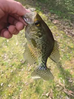
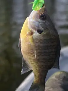
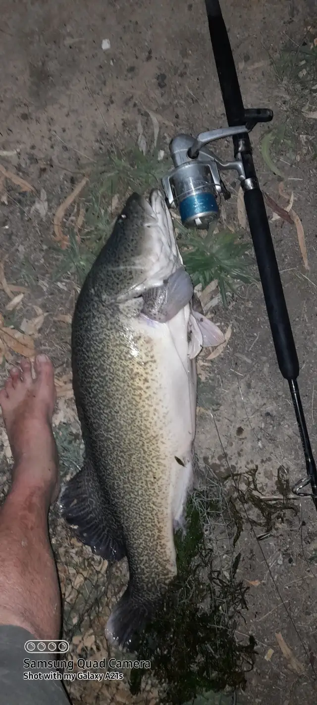
uploaded by: Joey Piercefield

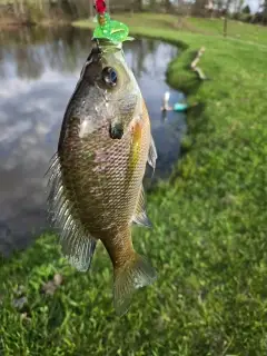
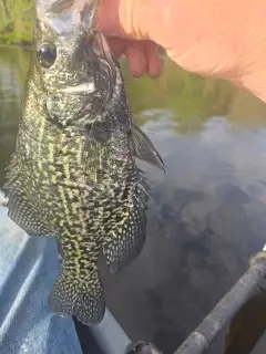
uploaded by: Joey Piercefield

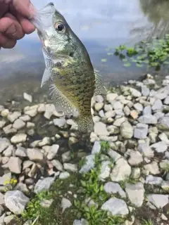
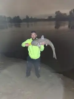
uploaded by: Joey Piercefield

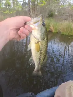
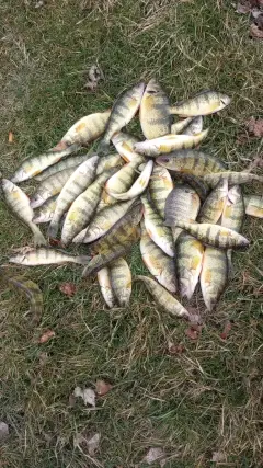
uploaded by: Joey Piercefield

uploaded by: Joey Piercefield

uploaded by: Joey Piercefield

uploaded by: Mr catch it
uploaded by: Graeme Lhuillier

uploaded by: Tony Barker_1

uploaded by: Zander Paul Slabber
Best Fishing Spots in the greater Perdido Key area
Beaches and Bays are ideal places for land-based fishing. If the beach is shallow and the water is clear then twilight times are usually the best times, especially when they coincide with a major or minor fishing time. Often the points on either side of a beach are the best spots. Or if the beach is large then look for irregularities in the breaking waves, indicating sandbanks and holes. We found 29 beaches and bays in this area.
Bayou Garcon - 2km , Kees Bayou - 5km , Russell Bayou - 6km , Bellville Bay - 6km , Tarkiln Bay - 6km , Perdido Bay - 6km , Goat Bayou - 7km , Tarkiln Bayou - 8km , Bayou Saint John - 9km , Arnica Bay - 10km , Kinsey Bayou - 10km , Stone Quarry Bayou - 11km , Bay Bridge Marina - 12km , San Carlos Beach - 13km , Cotton Bayou Marina - 13km , Bayou La Launch - 13km , Orange Beach Marina - 13km , Cotton Bayou - 14km , Mustin Beach - 14km , Redoubt Bayou - 14km , Hammock Bay - 15km , Bayou Grande - 15km , Caney Bayou - 16km , Wolf Bay - 16km , Bayou Marcus - 17km , Davenport Bayou - 17km , Moccasin Bayou - 18km , Alligator Bayou - 19km , Bayou Chico - 20km
Harbours and Marinas can often times be productive fishing spots for land based fishing as their sheltered environment attracts a wide variety of bait fish. Similar to river mouths, harbour entrances are also great places to fish as lots of fish will move in and out with the rising and falling tides. There are 17 main harbours in this area.
Holiday Harbor Marina - 1km, Bear Point Marina - 10km, Pirates Cove Marina and Boat Yard - 11km, Kits Marina - 12km, Sportsman Marina - 12km, Bay Bridge Marina - 12km, Griffith's Marina - 13km, Bobby Walker Marina - 13km, Cotton Bayou Marina - 13km, Orange Beach Marina - 13km, Perdido Pass Marina - 13km, Trents Marina - 13km, Safe Harbor Marina - 13km, Zeke's Landing Marina - 14km, Romar Harbor Marina - 14km, Davenport Bayou - 17km, Portage Creek - 18km
We found a total of 93 potential fishing spots nearby Perdido Key. Below you can find them organized on a map. Points, Headlands, Reefs, Islands, Channels, etc can all be productive fishing spots. As these are user submitted spots, there might be some errors in the exact location. You also need to cross check local fishing regulations. Some of the spots might be in or around marine reserves or other locations that cannot be fished. If you click on a location marker it will bring up some details and a quick link to google search, satellite maps and fishing times. Tip: Click/Tap on a new area to load more fishing spots.
Canal Bridge - 1km , Holiday Harbor Marina - 1km , Bayou Garcon - 2km , Point Ono - 3km , Rabbit Island - 3km , Old River - 4km , Kees Bayou - 5km , Russell Bayou - 6km , Bellville Bay - 6km , Tarkiln Bay - 6km , Perdido Bay - 6km , Tarkiln Point - 6km , Langley Point - 7km , Inerarity Point - 7km , Goat Bayou - 7km , Goat Point - 7km , Du Pont Point - 7km , Big Lagoon - 7km , Ono Island - 7km , Redfish Point - 8km , Trout Point - 8km , Manuel Point - 8km , Tarkiln Bayou - 8km , Ross Point - 9km , Suarez Point - 9km , Bayou Saint John - 9km , Mill Point - 9km , Bear Point - 9km , Spanish Point - 10km , Perdido Key - 10km , Arnica Bay - 10km , Baroco Lake Dam Number 1 - 10km , Kinsey Bayou - 10km , Nix Point - 10km , Bear Point Marina - 10km , Stone Quarry Bayou - 11km , Cummings Point - 11km , Hatcher Point - 11km , Johnson Cove - 11km , Baroco Lake Dam Number 2 - 11km , Walker Island - 11km , Robertson Island - 11km , Pirates Cove Marina and Boat Yard - 11km , Sherman Cove - 11km , Sherman Inlet - 11km , Kits Marina - 12km , Terry Cove - 12km , Sportsman Marina - 12km , Robinson Island - 12km , Bay Bridge Marina - 12km , Lillian Bridge - 12km , Chagrin Point - 12km , Florida Point - 12km , Griffith's Marina - 13km , Bobby Walker Marina - 13km , San Carlos Beach - 13km , Cotton Bayou Marina - 13km , Bayou La Launch - 13km , Double Point - 13km , Orange Beach Marina - 13km , Alabama Point - 13km , Perdido Pass Marina - 13km , Trents Marina - 13km , Safe Harbor Marina - 13km , Gilchrist Island - 13km , Grassy Point - 14km , Cotton Bayou - 14km , Mustin Beach - 14km , Sapling Point - 14km , Zeke's Landing Marina - 14km , Redoubt Bayou - 14km , Romar Harbor Marina - 14km , Hammock Bay - 15km , Bayou Grande - 15km , Caney Bayou - 16km , Mulberry Point - 16km , Wolf Bay - 16km , Jones Point - 17km , Magazine Point - 17km , Bayou Marcus - 17km , Davenport Bayou - 17km , Youngs Hammock - 18km , Tee Lake - 18km , Chambers Point - 18km , Little Lake - 18km , Portage Creek - 18km , Peterson Point - 18km , Moccasin Bayou - 18km , Wicker Lakes - 19km , Alligator Bayou - 19km , Middle River - 19km , Bayou Chico - 20km , Reeder Lake - 20km
Comments