
Oak Hill 🇺🇸
-
Nautical Twilight begins:05:27 amSunrise:06:27 am
-
Sunset:07:51 pmNautical Twilight ends:08:51 pm
-
Moonrise:12:47 am
-
Moonset:09:35 am
-
Moon over:05:11 am
-
Moon under:05:37 pm
-
Visibility:73%
-
 Waning Gibbous
-
Distance to earth:394,971 kmProximity:25.2 %
Moon Phases for Oak Hill
-
average Day
-
major Time:04:11 am - 06:11 am
-
minor Time:08:35 am - 10:35 am
-
major Time:04:37 pm - 06:37 pm
-
minor Time:11:47 pm - 01:47 am
Tide Clock
Tide Graph
Times
| Tide | Time | Height |
|---|---|---|
| high | 12:45 am | 2.76 ft |
| low | 06:46 am | 0.59 ft |
| high | 12:36 pm | 3.22 ft |
| low | 07:48 pm | 0.59 ft |
| Date | Major Bite Times | Minor Bite Times | Sun | Moon | Moonphase | Tide Times |
|---|---|---|---|---|---|---|
|
Fri, 18 Apr
|
04:11 am -
06:11 am
04:37 pm -
06:37 pm
|
08:35 am -
10:35 am
11:47 pm -
01:47 am
|
R: 06:27 am S: 07:51 pm |
R: 12:47 am S: 09:35 am |
Waning Gibbous |
high: 12:45 am
, 2.76 ft
, Coeff: 91
low: 06:46 am
, 0.59 ft
high: 12:36 pm
, 3.22 ft
, Coeff: 120
low: 07:48 pm
, 0.59 ft
|
|
Sat, 19 Apr
|
05:05 am -
07:05 am
05:28 pm -
07:28 pm
|
12:39 am -
02:39 am
09:32 am -
11:32 am
|
R: 06:25 am S: 07:52 pm |
R: 01:39 am S: 10:32 am |
Third Quarter Moon |
high: 01:28 am
, 2.76 ft
, Coeff: 91
low: 07:34 am
, 0.62 ft
high: 01:23 pm
, 3.15 ft
, Coeff: 116
low: 08:35 pm
, 0.62 ft
|
|
Sun, 20 Apr
|
06:01 am -
08:01 am
06:20 pm -
08:20 pm
|
01:25 am -
03:25 am
10:37 am -
12:37 pm
|
R: 06:24 am S: 07:53 pm |
R: 02:25 am S: 11:37 am |
Third Quarter Moon |
high: 02:17 am
, 2.79 ft
, Coeff: 93
low: 08:28 am
, 0.66 ft
high: 02:18 pm
, 3.12 ft
, Coeff: 114
low: 09:27 pm
, 0.62 ft
|
|
Mon, 21 Apr
|
06:54 am -
08:54 am
07:11 pm -
09:11 pm
|
02:03 am -
04:03 am
11:46 am -
01:46 pm
|
R: 06:22 am S: 07:54 pm |
R: 03:03 am S: 12:46 pm |
Third Quarter Moon |
high: 03:13 am
, 2.82 ft
, Coeff: 96
low: 09:28 am
, 0.66 ft
high: 03:21 pm
, 3.05 ft
, Coeff: 110
low: 10:24 pm
, 0.59 ft
|
|
Tue, 22 Apr
|
07:46 am -
09:46 am
08:01 pm -
10:01 pm
|
02:36 am -
04:36 am
12:57 pm -
02:57 pm
|
R: 06:21 am S: 07:55 pm |
R: 03:36 am S: 01:57 pm |
Third Quarter Moon |
high: 04:14 am
, 2.92 ft
, Coeff: 102
low: 10:37 am
, 0.62 ft
high: 04:29 pm
, 3.05 ft
, Coeff: 110
low: 11:22 pm
, 0.49 ft
|
|
Wed, 23 Apr
|
08:37 am -
10:37 am
08:50 pm -
10:50 pm
|
03:05 am -
05:05 am
02:10 pm -
04:10 pm
|
R: 06:20 am S: 07:56 pm |
R: 04:05 am S: 03:10 pm |
Waning Crescent |
high: 05:13 am
, 3.08 ft
, Coeff: 112
low: 11:48 am
, 0.52 ft
high: 05:34 pm
, 3.12 ft
, Coeff: 114
|
|
Thu, 24 Apr
|
09:26 am -
11:26 am
09:39 pm -
11:39 pm
|
03:31 am -
05:31 am
03:22 pm -
05:22 pm
|
R: 06:18 am S: 07:57 pm |
R: 04:31 am S: 04:22 pm |
Waning Crescent |
low: 12:18 am
, 0.39 ft
high: 06:09 am
, 3.28 ft
, Coeff: 124
low: 12:55 pm
, 0.39 ft
high: 06:34 pm
, 3.15 ft
, Coeff: 116
|


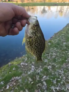
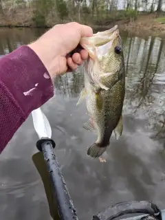
uploaded by: Joey Piercefield

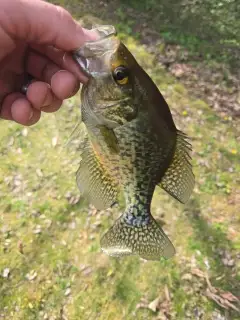
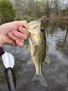
uploaded by: Joey Piercefield

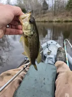
uploaded by: Joey Piercefield

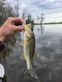
uploaded by: Joey Piercefield

uploaded by: Joey Piercefield

uploaded by: Joey Piercefield

uploaded by: Joey Piercefield

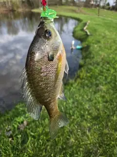
uploaded by: cbellstrong

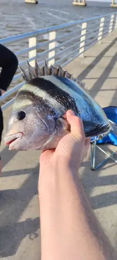
uploaded by: tajiran

uploaded by: Daniel_1
Best Fishing Spots in the greater Oak Hill area
Harbours and Marinas can often times be productive fishing spots for land based fishing as their sheltered environment attracts a wide variety of bait fish. Similar to river mouths, harbour entrances are also great places to fish as lots of fish will move in and out with the rising and falling tides. There are 2 main harbours in this area.
Dulles Airport Dam - 6km, Bull Run Marina - 19km
We found a total of 78 potential fishing spots nearby Oak Hill. Below you can find them organized on a map. Points, Headlands, Reefs, Islands, Channels, etc can all be productive fishing spots. As these are user submitted spots, there might be some errors in the exact location. You also need to cross check local fishing regulations. Some of the spots might be in or around marine reserves or other locations that cannot be fished. If you click on a location marker it will bring up some details and a quick link to google search, satellite maps and fishing times. Tip: Click/Tap on a new area to load more fishing spots.
Lake Thoreau Dam - 6km , Dulles Airport Dam - 6km , Timberlake Dam - 6km , Lake Anne Dam - 7km , Fox Dam - 7km , Lower Lake Dam - 7km , Lake Fairfax Dam - 9km , Horsepen Flood Control Structure Dam - 9km , Chantilly Country Club Dam - 9km , Piney Run Dam - 11km , Spring Lake - 11km , South Twin Lake Dam - 12km , Wolf Trap Farm Pond Dam - 12km , North Twin Lake Dam - 12km , Cedar Lake - 13km , Alder Lake - 13km , Quail Ridge Dam - 14km , Stone Bridge - 14km , Tippecanoe Lake - 14km , Broad Run Bridge - 14km , Mine Run Dam - 14km , Woodside Dam - 14km , Rocky Islands - 15km , Olmsted Island - 15km , Bear Island - 15km , Lock 18 - 15km , Lock 17 - 15km , Lock 16 - 15km , Lock 15 - 15km , Black Pond - 16km , Patowmack Island - 16km , Van Deventer Island - 16km , Tenfoot Island - 16km , Sherwin Island - 16km , Sharpshin Island - 16km , Manassas Nbp Noname Dams Number One Thru 10 - 16km , Lowes Island - 16km , Elm Island - 16km , Conn Island - 16km , Offutt Island - 16km , Lock 19 - 16km , Clagett Island - 17km , Little Sluice Island - 17km , Big Sluice Island - 17km , Grapevine Island - 17km , Woodover Farms Dam - 17km , Blockhouse Point - 17km , Murrays Ford Bridge - 17km , Turkey Island - 17km , Harris Island - 17km , Katie Island - 17km , Selden Island - 17km , Lock 23 - 17km , Lock 24 - 17km , Pl 566 Dam Number Two - 17km , Perry Island - 17km , Pond Island - 17km , Powhatan Island - 17km , Beaverdam Dam - 17km , Seneca Creek Aqueduct - 17km , Pl 566 Dam Number Four - 17km , Sycamore Island - 17km , Lock 22 - 17km , Watkins Island - 17km , Herzog Island - 17km , Hermit Island - 17km , Bealls Island - 18km , Pohick Creek Dam Number Seven - 18km , Evergreen Mills Bridge - 18km , Goose Creek Dam - 18km , Gladys Island - 18km , Vaso Island - 18km , Great Falls Estate Dam - 18km , Swains Lock - 18km , Lock Island - 18km , Minnehaha Island - 18km , Bull Run Marina - 19km , Lake Cotting - 20km
Comments