


Mossdale 🇺🇸
-
Nautical Twilight begins:05:33 amSunrise:06:31 am
-
Sunset:07:41 pmNautical Twilight ends:08:39 pm
-
Moonrise:08:43 pm
-
Moonset:06:39 am
-
Moon over:01:10 am
-
Moon under:01:41 pm
-
Visibility:99%
-
 Full Moon
-
Distance to earth:405,505 kmProximity:0.4 %
Moon Phases for Mossdale
-
average Day
-
major Time:12:10 am - 02:10 am
-
minor Time:
 05:39 am -
07:39 am
05:39 am -
07:39 am
-
major Time:12:41 pm - 02:41 pm
-
minor Time:07:43 pm - 09:43 pm
Tide Clock
Tide Graph
Times
| Tide | Time | Height |
|---|---|---|
| low | 03:01 am | 0.72 ft |
| high | 08:54 am | 3.71 ft |
| low | 04:08 pm | 0.03 ft |
| high | 10:03 pm | 2.85 ft |
| Date | Major Bite Times | Minor Bite Times | Sun | Moon | Moonphase | Tide Times |
|---|---|---|---|---|---|---|
|
Sun, 13 Apr
|
12:10 am -
02:10 am
12:41 pm -
02:41 pm
|
05:39 am -
07:39 am
07:43 pm -
09:43 pm
|
R: 06:31 am S: 07:41 pm |
R: 08:43 pm S: 06:39 am |
Full Moon |
low: 03:01 am
, 0.72 ft
high: 08:54 am
, 3.71 ft
, Coeff: 105
low: 04:08 pm
, 0.03 ft
high: 10:03 pm
, 2.85 ft
, Coeff: 63
|
|
Mon, 14 Apr
|
12:53 am -
02:53 am
01:24 pm -
03:24 pm
|
06:04 am -
08:04 am
08:45 pm -
10:45 pm
|
R: 06:29 am S: 07:42 pm |
R: 09:45 pm S: 07:04 am |
Full Moon |
low: 03:24 am
, 0.95 ft
high: 09:07 am
, 3.81 ft
, Coeff: 110
low: 04:44 pm
, 0 ft
high: 10:51 pm
, 2.79 ft
, Coeff: 59
|
|
Tue, 15 Apr
|
01:39 am -
03:39 am
02:10 pm -
04:10 pm
|
06:34 am -
08:34 am
09:46 pm -
11:46 pm
|
R: 06:28 am S: 07:43 pm |
R: 10:46 pm S: 07:34 am |
Waning Gibbous |
low: 03:50 am
, 1.15 ft
high: 09:26 am
, 3.9 ft
, Coeff: 115
low: 05:19 pm
, 0 ft
high: 11:41 pm
, 2.72 ft
, Coeff: 56
|
|
Wed, 16 Apr
|
02:37 am -
04:37 am
02:57 pm -
04:57 pm
|
07:08 am -
09:08 am
10:47 pm -
12:47 am
|
R: 06:26 am S: 07:43 pm |
R: 11:47 pm S: 08:08 am |
Waning Gibbous |
low: 04:22 am
, 1.35 ft
high: 09:53 am
, 3.97 ft
, Coeff: 118
low: 05:54 pm
, 0.03 ft
|
|
Thu, 17 Apr
|
03:27 am -
05:27 am
03:47 pm -
05:47 pm
|
07:51 am -
09:51 am
11:44 pm -
01:44 am
|
R: 06:25 am S: 07:44 pm |
R: - S: 08:51 am |
Waning Gibbous |
high: 12:37 am
, 2.66 ft
, Coeff: 53
low: 05:00 am
, 1.48 ft
high: 10:27 am
, 3.94 ft
, Coeff: 117
low: 06:35 pm
, 0.03 ft
|
|
Fri, 18 Apr
|
04:13 am -
06:13 am
04:40 pm -
06:40 pm
|
08:42 am -
10:42 am
11:44 pm -
01:44 am
|
R: 06:24 am S: 07:45 pm |
R: 12:44 am S: 09:42 am |
Waning Gibbous |
high: 01:39 am
, 2.59 ft
, Coeff: 50
low: 05:46 am
, 1.61 ft
high: 11:09 am
, 3.81 ft
, Coeff: 110
low: 07:26 pm
, 0.07 ft
|
|
Sat, 19 Apr
|
05:08 am -
07:08 am
05:30 pm -
07:30 pm
|
12:37 am -
02:37 am
09:40 am -
11:40 am
|
R: 06:22 am S: 07:46 pm |
R: 01:37 am S: 10:40 am |
Third Quarter Moon |
high: 02:44 am
, 2.56 ft
, Coeff: 48
low: 06:43 am
, 1.64 ft
high: 11:59 am
, 3.58 ft
, Coeff: 99
low: 08:29 pm
, 0.1 ft
|


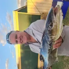
uploaded by: Hoza
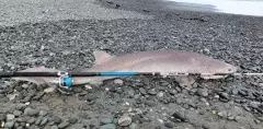
uploaded by: Stephen Spencer 1
uploaded by: Stephen Spencer 1

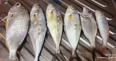
uploaded by: Couper

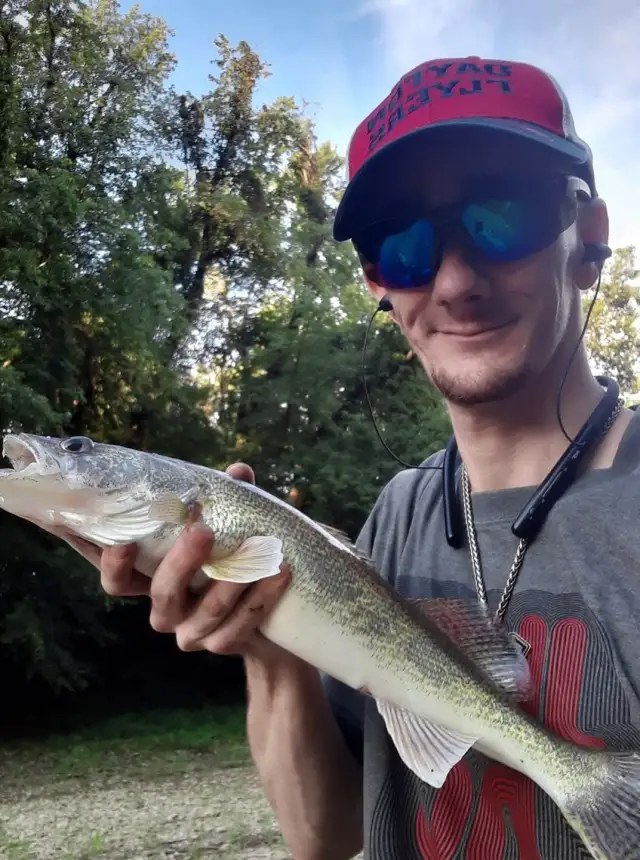
uploaded by: Joey Piercefield

uploaded by: Joey Piercefield

uploaded by: blujim

uploaded by: Shaun Waters

uploaded by: Shaun Waters

uploaded by: HogsMilkforTrout
Best Fishing Spots in the greater Mossdale area
Harbours and Marinas can often times be productive fishing spots for land based fishing as their sheltered environment attracts a wide variety of bait fish. Similar to river mouths, harbour entrances are also great places to fish as lots of fish will move in and out with the rising and falling tides. There are 2 main harbours in this area.
Mossdale Marina - 0km, Port of Stockton - 19km
We found a total of 35 potential fishing spots nearby Mossdale. Below you can find them organized on a map. Points, Headlands, Reefs, Islands, Channels, etc can all be productive fishing spots. As these are user submitted spots, there might be some errors in the exact location. You also need to cross check local fishing regulations. Some of the spots might be in or around marine reserves or other locations that cannot be fished. If you click on a location marker it will bring up some details and a quick link to google search, satellite maps and fishing times. Tip: Click/Tap on a new area to load more fishing spots.
Mossdale Marina - 0km , Weatherbee Lake - 2km , Paradise Dam - 3km , Paradise Cut - 5km , Brandt Bridge - 9km , Salmon Slough - 10km , East Branch Lateral - 10km , Sugar Cut - 10km , Banta Carbona Canal - 11km , West Branch Lateral - 11km , Red Bridge Slough - 11km , Lateral Three West - 11km , Grant Line Canal - 13km , Lateral Four West - 13km , Union Island - 15km , Roberts Island - 15km , Lateral Five West - 15km , Lateral Five East - 15km , Homestead Canal - 15km , Lateral Six East - 16km , Fabian and Bell Canal - 16km , Garwood Bridge - 16km , Lower Main Canal - 17km , Hetch Hetchy Aqueduct - 18km , Burns Cutoff Bridge - 18km , McLeod Lake - 19km , Carnazzani Island (historical) - 19km , Port of Stockton - 19km , Trapper Slough - 19km , Weber Point - 19km , Rough and Ready Island - 19km , Atherton Island - 19km , Smith Canal - 20km , Yosemite Lake - 20km , Browns Island - 20km
Comments