Longport 🇺🇸
-
Nautical Twilight begins:04:57 amSunrise:06:00 am
-
Sunset:07:51 pmNautical Twilight ends:08:53 pm
-
Moonrise:06:56 am
-
Moonset:10:45 pm
-
Moon over:02:50 pm
-
Moon under:02:24 am
-
Visibility:5%
-
 Waxing Crescent
-
Distance to earth:366,045 kmProximity:93.1 %
Moon Phases for Longport
-
excellent Day
-
major Time:01:24 am - 03:24 am
-
minor Time:
 05:56 am -
07:56 am
05:56 am -
07:56 am
-
major Time:01:50 pm - 03:50 pm
-
minor Time:09:45 pm - 11:45 pm
Tide Clock
Tide Graph
Times
| Tide | Time | Height |
|---|---|---|
| low | 04:20 am | -0.66 ft |
| high | 10:13 am | 4.2 ft |
| low | 04:15 pm | -0.49 ft |
| high | 10:34 pm | 5.45 ft |
| Date | Major Bite Times | Minor Bite Times | Sun | Moon | Moonphase | Tide Times |
|---|---|---|---|---|---|---|
|
Tue, 29 Apr
|
01:24 am -
03:24 am
01:50 pm -
03:50 pm
|
05:56 am -
07:56 am
09:45 pm -
11:45 pm
|
R: 06:00 am S: 07:51 pm |
R: 06:56 am S: 10:45 pm |
Waxing Crescent |
low: 04:20 am
, -0.66 ft
high: 10:13 am
, 4.2 ft
, Coeff: 111
low: 04:15 pm
, -0.49 ft
high: 10:34 pm
, 5.45 ft
, Coeff: 168
|
|
Wed, 30 Apr
|
02:21 am -
04:21 am
02:52 pm -
04:52 pm
|
06:48 am -
08:48 am
10:56 pm -
12:56 am
|
R: 05:59 am S: 07:52 pm |
R: 07:48 am S: 11:56 pm |
Waxing Crescent |
low: 05:15 am
, -0.52 ft
high: 11:07 am
, 3.97 ft
, Coeff: 101
low: 05:07 pm
, -0.26 ft
high: 11:27 pm
, 5.22 ft
, Coeff: 157
|
|
Thu, 01 May
|
03:17 am -
05:17 am
03:52 pm -
05:52 pm
|
07:49 am -
09:49 am
11:55 pm -
01:55 am
|
R: 05:57 am S: 07:53 pm |
R: 08:49 am S: - |
Waxing Crescent |
low: 06:11 am
, -0.26 ft
high: 12:04 pm
, 3.71 ft
, Coeff: 89
low: 06:02 pm
, 0.03 ft
|
|
Fri, 02 May
|
04:26 am -
06:26 am
05:01 pm -
07:01 pm
|
08:58 am -
10:58 am
11:55 pm -
01:55 am
|
R: 05:56 am S: 07:54 pm |
R: 09:58 am S: 12:55 am |
Waxing Crescent |
high: 12:23 am
, 4.89 ft
, Coeff: 142
low: 07:10 am
, -0 ft
high: 01:06 pm
, 3.48 ft
, Coeff: 78
low: 07:02 pm
, 0.33 ft
|
|
Sat, 03 May
|
05:24 am -
07:24 am
05:59 pm -
07:59 pm
|
12:41 am -
02:41 am
10:08 am -
12:08 pm
|
R: 05:55 am S: 07:55 pm |
R: 11:08 am S: 01:41 am |
First Quarter Moon |
high: 01:24 am
, 4.53 ft
, Coeff: 126
low: 08:13 am
, 0.23 ft
high: 02:12 pm
, 3.35 ft
, Coeff: 72
low: 08:08 pm
, 0.59 ft
|
|
Sun, 04 May
|
06:17 am -
08:17 am
06:50 pm -
08:50 pm
|
01:17 am -
03:17 am
11:17 am -
01:17 pm
|
R: 05:54 am S: 07:56 pm |
R: 12:17 pm S: 02:17 am |
First Quarter Moon |
high: 02:29 am
, 4.23 ft
, Coeff: 113
low: 09:16 am
, 0.36 ft
high: 03:21 pm
, 3.35 ft
, Coeff: 72
low: 09:16 pm
, 0.72 ft
|
|
Mon, 05 May
|
07:04 am -
09:04 am
07:36 pm -
09:36 pm
|
01:46 am -
03:46 am
12:23 pm -
02:23 pm
|
R: 05:53 am S: 07:57 pm |
R: 01:23 pm S: 02:46 am |
First Quarter Moon |
high: 03:35 am
, 4 ft
, Coeff: 102
low: 10:16 am
, 0.43 ft
high: 04:25 pm
, 3.44 ft
, Coeff: 77
low: 10:23 pm
, 0.75 ft
|
")


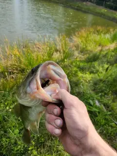
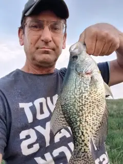
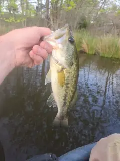
uploaded by: Mike Baron

uploaded by: Mike Baron

uploaded by: Mike Baron

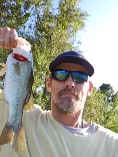
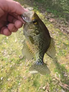
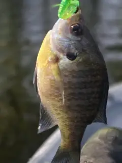
uploaded by: Bradley Wisdom

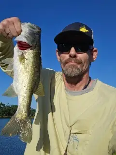
uploaded by: Bradley Wisdom

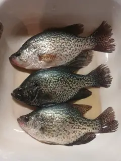
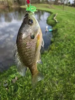
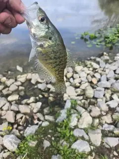
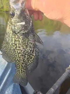
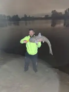
uploaded by: Joey Piercefield

uploaded by: Joey Piercefield

uploaded by: Joey Piercefield

uploaded by: Joey Piercefield

uploaded by: Joey Piercefield
Best Fishing Spots in the greater Longport area
Beaches and Bays are ideal places for land-based fishing. If the beach is shallow and the water is clear then twilight times are usually the best times, especially when they coincide with a major or minor fishing time. Often the points on either side of a beach are the best spots. Or if the beach is large then look for irregularities in the breaking waves, indicating sandbanks and holes. We found 22 beaches and bays in this area.
Bayshore Lagoon - 3km , Scull Bay - 4km , Shelter Island Bay - 4km , Steelman Bay - 4km , Carnival Bayou - 7km , Great Egg Harbor Bay - 7km , Lakes Bay - 7km , Venetian Bayou - 7km , Little Bay - 9km , Peck Bay - 10km , Absecon Bay - 11km , Peck Beach - 11km , Mankiller Bay - 12km , Peter Beach - 14km , Eagle Bay - 15km , Reeds Bay - 16km , Brigantine Beach - 17km , Grassy Bay - 17km , Strathmere Bay - 17km , Somers Bay - 18km , Whale Beach - 18km , Widgeon Bay - 20km
Harbours and Marinas can often times be productive fishing spots for land based fishing as their sheltered environment attracts a wide variety of bait fish. Similar to river mouths, harbour entrances are also great places to fish as lots of fish will move in and out with the rising and falling tides. There are 8 main harbours in this area.
Orient Canal - 2km, Sunset Canal - 2km, Chelsea Harbor - 7km, Municipal Yacht Basin - 8km, Delta Basin - 11km, Gardners Basin - 11km, Snug Harbor - 11km, State Marina - 11km
We found a total of 94 potential fishing spots nearby Longport. Below you can find them organized on a map. Points, Headlands, Reefs, Islands, Channels, etc can all be productive fishing spots. As these are user submitted spots, there might be some errors in the exact location. You also need to cross check local fishing regulations. Some of the spots might be in or around marine reserves or other locations that cannot be fished. If you click on a location marker it will bring up some details and a quick link to google search, satellite maps and fishing times. Tip: Click/Tap on a new area to load more fishing spots.
Dune Island - 1km , Seaview Harbor - 1km , Great Egg Harbor Inlet - 2km , Lone Cedar Island - 2km , Long Cedar Island - 2km , Orient Canal - 2km , Pork Island - 2km , Sunset Canal - 2km , Bayshore Lagoon - 3km , Jonas Island - 3km , Toms Island - 3km , Williams Island - 3km , Anchorage Point - 4km , Kiahs Island - 4km , The Lagoon - 4km , Scull Bay - 4km , Shelter Island Bay - 4km , Steelman Bay - 4km , Whirlpool Island - 4km , Winkle Island - 4km , Bass Harbor - 5km , Shelter Island - 5km , Turtle Gut - 5km , West Canal - 5km , Alex Island - 6km , Cowpens Island - 6km , Little Finger Channel - 6km , Rainbow Islands - 6km , Bargaintown Pond - 7km , Bonds Bar Island - 7km , Carnival Bayou - 7km , Chelsea Harbor - 7km , Great Egg Harbor Bay - 7km , Great Island - 7km , Lakes Bay - 7km , Venetian Bayou - 7km , Drag Island - 8km , Municipal Yacht Basin - 8km , Shooting Island - 8km , South Harbor - 8km , Sunny Harbor - 8km , Golders Point - 9km , Job Point - 9km , Little Bay - 9km , Penrose Canal - 9km , Venice Lagoon - 9km , Clubhouse Lagoon - 10km , Peck Bay - 10km , Absecon Bay - 11km , Delta Basin - 11km , Gardners Basin - 11km , Peck Beach - 11km , Rock Point - 11km , Snug Harbor - 11km , State Marina - 11km , Tuckahoe River Island - 11km , Absecon Inlet - 12km , Blackman Island - 12km , Doles Point - 12km , Mankiller Bay - 12km , Mankiller Island - 12km , Rum Point - 12km , Weakfish Island - 12km , Absalom Doughty Pond Dam - 13km , Crook Horn Creek - 13km , English Creek Pond Dam - 13km , Little Panama - 13km , Sunflower Island - 13km , Boot Island - 14km , Doughty Pond Upper Dam - 14km , Going Through Creek - 14km , Peter Beach - 14km , Swan Pond - 14km , Devils Island - 15km , Eagle Bay - 15km , Corson Sound - 16km , Corson Inlet - 16km , Reeds Bay - 16km , Baremore Quarters - 17km , Bascule Bridge - 17km , Brigantine Beach - 17km , Grassy Bay - 17km , Somers Cove - 17km , Strathmere Bay - 17km , Black Point - 18km , Lily Lake Dam - 18km , Somers Bay - 18km , Turtle Cove - 18km , Whale Beach - 18km , Flat Creek - 19km , Perch Cove - 19km , Whale Creek - 19km , Hoffman Point - 20km , Widgeon Bay - 20km
Comments