

Kitty Hawk Beach 🇺🇸
-
Nautical Twilight begins:05:13 amSunrise:06:11 am
-
Sunset:07:49 pmNautical Twilight ends:08:48 pm
-
Moonrise:06:27 am
-
Moonset:09:21 pm
-
Moon over:01:54 pm
-
Moon under:01:32 am
-
Visibility:1%
-
 New Moon
-
Distance to earth:364,076 kmProximity:97.7 %
Moon Phases for Kitty Hawk Beach
-
excellent Day
-
major Time:12:32 am - 02:32 am
-
minor Time:
 05:27 am -
07:27 am
05:27 am -
07:27 am
-
major Time:12:54 pm - 02:54 pm
-
minor Time:08:21 pm - 10:21 pm
Tide Clock
Tide Graph
Times
| Tide | Time | Height |
|---|---|---|
| low | 02:29 am | -0.52 ft |
| high | 08:25 am | 3.58 ft |
| low | 02:26 pm | -0.46 ft |
| high | 08:48 pm | 4.49 ft |
| Date | Major Bite Times | Minor Bite Times | Sun | Moon | Moonphase | Tide Times |
|---|---|---|---|---|---|---|
|
Mon, 28 Apr
|
12:32 am -
02:32 am
12:54 pm -
02:54 pm
|
05:27 am -
07:27 am
08:21 pm -
10:21 pm
|
R: 06:11 am S: 07:49 pm |
R: 06:27 am S: 09:21 pm |
New Moon |
low: 02:29 am
, -0.52 ft
high: 08:25 am
, 3.58 ft
, Coeff: 118
low: 02:26 pm
, -0.46 ft
high: 08:48 pm
, 4.49 ft
, Coeff: 169
|
|
Tue, 29 Apr
|
01:27 am -
03:27 am
01:54 pm -
03:54 pm
|
06:11 am -
08:11 am
09:38 pm -
11:38 pm
|
R: 06:10 am S: 07:50 pm |
R: 07:11 am S: 10:38 pm |
Waxing Crescent |
low: 03:21 am
, -0.46 ft
high: 09:16 am
, 3.51 ft
, Coeff: 115
low: 03:16 pm
, -0.39 ft
high: 09:40 pm
, 4.36 ft
, Coeff: 162
|
|
Wed, 30 Apr
|
02:26 am -
04:26 am
02:57 pm -
04:57 pm
|
07:05 am -
09:05 am
10:49 pm -
12:49 am
|
R: 06:09 am S: 07:51 pm |
R: 08:05 am S: 11:49 pm |
Waxing Crescent |
low: 04:14 am
, -0.33 ft
high: 10:08 am
, 3.35 ft
, Coeff: 105
low: 04:08 pm
, -0.26 ft
high: 10:34 pm
, 4.13 ft
, Coeff: 149
|
|
Thu, 01 May
|
03:23 am -
05:23 am
03:57 pm -
05:57 pm
|
08:07 am -
10:07 am
11:47 pm -
01:47 am
|
R: 06:08 am S: 07:52 pm |
R: 09:07 am S: - |
Waxing Crescent |
low: 05:08 am
, -0.13 ft
high: 11:02 am
, 3.22 ft
, Coeff: 98
low: 05:04 pm
, -0.07 ft
high: 11:31 pm
, 3.84 ft
, Coeff: 133
|
|
Fri, 02 May
|
04:30 am -
06:30 am
05:05 pm -
07:05 pm
|
09:14 am -
11:14 am
11:47 pm -
01:47 am
|
R: 06:07 am S: 07:53 pm |
R: 10:14 am S: 12:47 am |
Waxing Crescent |
low: 06:05 am
, 0.1 ft
high: 12:00 pm
, 3.05 ft
, Coeff: 89
low: 06:03 pm
, 0.13 ft
|
|
Sat, 03 May
|
05:30 am -
07:30 am
06:03 pm -
08:03 pm
|
12:36 am -
02:36 am
10:24 am -
12:24 pm
|
R: 06:06 am S: 07:53 pm |
R: 11:24 am S: 01:36 am |
First Quarter Moon |
high: 12:31 am
, 3.58 ft
, Coeff: 118
low: 07:04 am
, 0.3 ft
high: 01:02 pm
, 2.95 ft
, Coeff: 84
low: 07:08 pm
, 0.33 ft
|
|
Sun, 04 May
|
06:21 am -
08:21 am
06:53 pm -
08:53 pm
|
01:13 am -
03:13 am
11:30 am -
01:30 pm
|
R: 06:05 am S: 07:54 pm |
R: 12:30 pm S: 02:13 am |
First Quarter Moon |
high: 01:34 am
, 3.31 ft
, Coeff: 104
low: 08:04 am
, 0.43 ft
high: 02:06 pm
, 2.95 ft
, Coeff: 84
low: 08:16 pm
, 0.46 ft
|
")


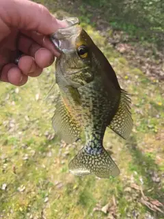
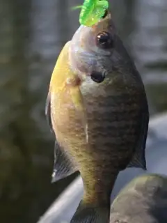
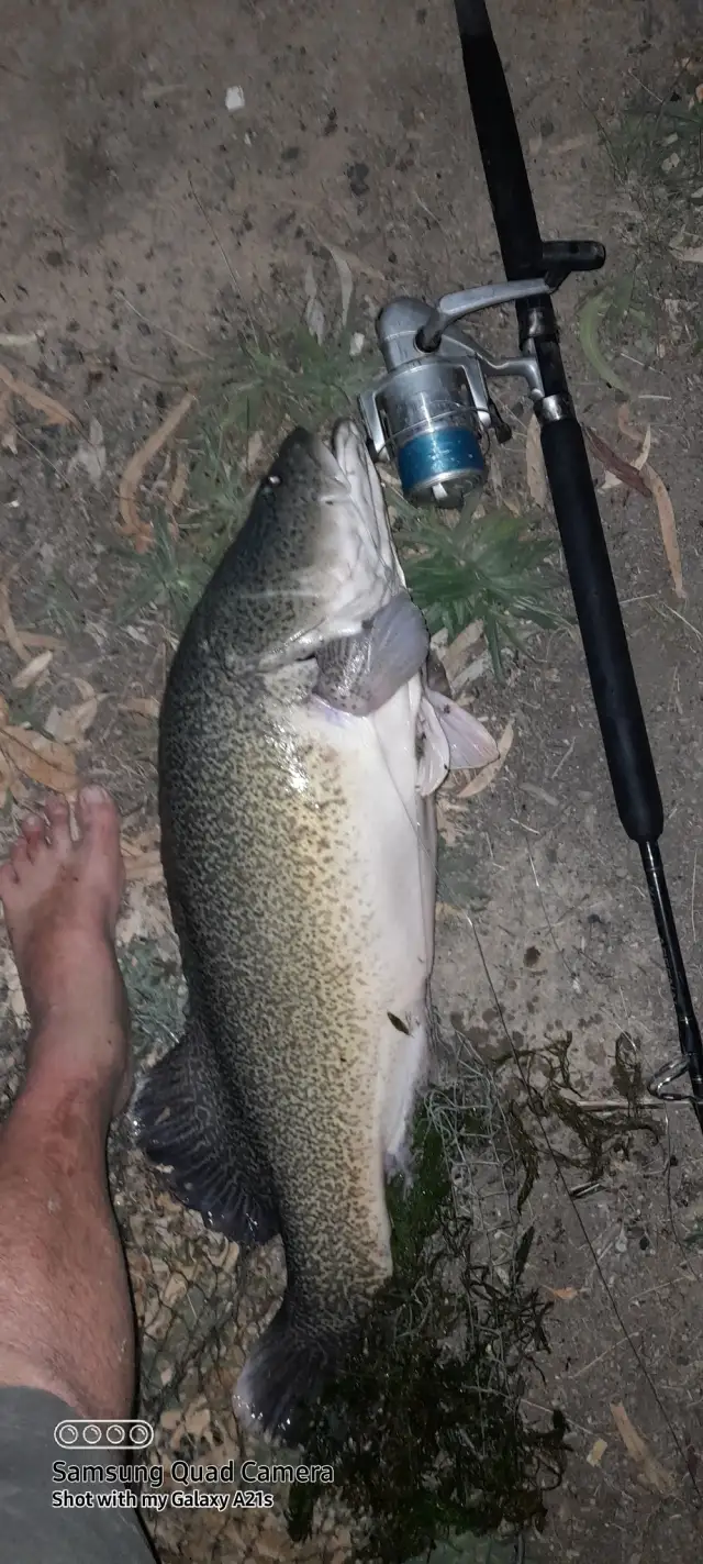
uploaded by: Joey Piercefield

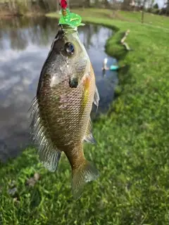
uploaded by: Joey Piercefield

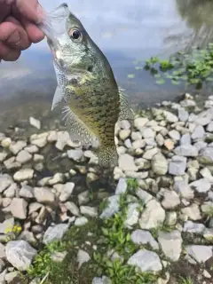
uploaded by: Joey Piercefield

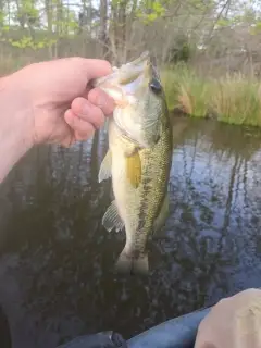
uploaded by: Joey Piercefield

uploaded by: Joey Piercefield

uploaded by: Joey Piercefield

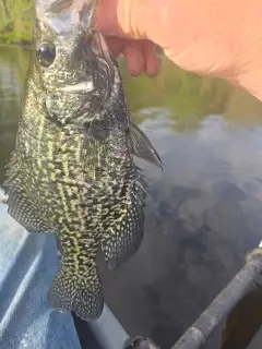
uploaded by: Mr catch it
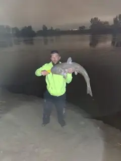
uploaded by: Graeme Lhuillier

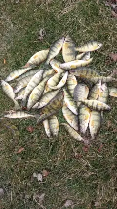
uploaded by: Tony Barker_1

uploaded by: Zander Paul Slabber
Best Fishing Spots in the greater Kitty Hawk Beach area
Beaches and Bays are ideal places for land-based fishing. If the beach is shallow and the water is clear then twilight times are usually the best times, especially when they coincide with a major or minor fishing time. Often the points on either side of a beach are the best spots. Or if the beach is large then look for irregularities in the breaking waves, indicating sandbanks and holes. We found 9 beaches and bays in this area.
Kitty Hawk Bay - 6km , Blount Bay - 9km , Baum Bay - 10km , Buzzard Bay - 11km , Pine Island Bay - 17km , Shoe Hole Bay - 18km , Dowdy Bay - 20km , Goat Island Bay - 20km , Little Goat Island Bay - 20km
Harbours and Marinas can often times be productive fishing spots for land based fishing as their sheltered environment attracts a wide variety of bait fish. Similar to river mouths, harbour entrances are also great places to fish as lots of fish will move in and out with the rising and falling tides. There are 1 main harbours in this area.
Point Harbor - 8km
We found a total of 69 potential fishing spots nearby Kitty Hawk Beach. Below you can find them organized on a map. Points, Headlands, Reefs, Islands, Channels, etc can all be productive fishing spots. As these are user submitted spots, there might be some errors in the exact location. You also need to cross check local fishing regulations. Some of the spots might be in or around marine reserves or other locations that cannot be fished. If you click on a location marker it will bring up some details and a quick link to google search, satellite maps and fishing times. Tip: Click/Tap on a new area to load more fishing spots.
Hay Point - 4km , Martin Point - 5km , Shellbank Point - 5km , Tillets Cove - 5km , Burnt Island - 6km , Hog Island - 6km , Kitty Hawk Bay - 6km , Long Point - 6km , Stove Island - 6km , Wright Memorial Bridge - 6km , Sloop Island - 7km , Baum Point Island - 8km , Bum Point Island - 8km , Colington Creek - 8km , Colony Lake - 8km , Eagleton Point - 8km , Meter Point - 8km , Pig Point - 8km , Point Harbor - 8km , Powells Point - 8km , Sampson Point - 8km , Blount Bay - 9km , Halls Harbor - 9km , Baum Bay - 10km , Colington Island - 10km , Rhodoms Point - 10km , Bens Point - 11km , Buzzard Bay - 11km , Buzzard Point - 11km , Colington Cut - 11km , Deep Ditch - 11km , Deep Ditch Point - 11km , Walker Island - 11km , Albemarle Sound - 12km , Thorofare Island - 12km , Brock Island - 13km , Trinite Harbor (historical) - 13km , Mann Point - 14km , Bobs Island - 16km , Caffeys Inlet (historical) - 16km , Goose Island - 16km , Crab Claw Spit - 17km , Dews Island - 17km , Otis Cove - 17km , Pine Island Bay - 17km , Shoe Hole Bay - 18km , Caroon Point - 18km , Northwest Point - 18km , Pettys Pond - 18km , Baums Creek - 19km , Gar Gut - 19km , Haulover Point - 19km , Horsebone - 19km , Pine Island Lead - 19km , Poster Gut - 19km , Reeds Point - 19km , Weir Point - 19km , William B Umstead Memorial Bridge - 19km , Yankee Pond - 19km , Davis Pond - 19km , Baum Point - 20km , Dowdy Bay - 20km , The Frying Pan - 20km , Goat Island - 20km , Goat Island Bay - 20km , Greys Island - 20km , Little Goat Island Bay - 20km , Mallard Pond - 20km , Shell Rock - 20km
Comments