Indian Pass 🇺🇸
-
Nautical Twilight begins:06:05 amSunrise:06:59 am
-
Sunset:08:18 pmNautical Twilight ends:09:12 pm
-
Moonrise:08:10 am
-
Moonset:10:57 pm
-
Moon over:03:33 pm
-
Moon under:03:05 am
-
Visibility:5%
-
 Waxing Crescent
-
Distance to earth:366,045 kmProximity:93.1 %
Moon Phases for Indian Pass
-
excellent Day
-
major Time:02:05 am - 04:05 am
-
minor Time:07:10 am - 09:10 am
-
major Time:02:33 pm - 04:33 pm
-
minor Time:09:57 pm - 11:57 pm
Tide Clock
Tide Graph
Times
| Tide | Time | Height |
|---|---|---|
| low | 12:22 am | -0.43 ft |
| high | 07:00 am | 0.85 ft |
| low | 10:30 am | 0.79 ft |
| high | 04:16 pm | 1.74 ft |
| Date | Major Bite Times | Minor Bite Times | Sun | Moon | Moonphase | Tide Times |
|---|---|---|---|---|---|---|
|
Tue, 29 Apr
|
02:05 am -
04:05 am
02:33 pm -
04:33 pm
|
07:10 am -
09:10 am
09:57 pm -
11:57 pm
|
R: 06:59 am S: 08:18 pm |
R: 08:10 am S: 10:57 pm |
Waxing Crescent |
low: 12:22 am
, -0.43 ft
high: 07:00 am
, 0.85 ft
, Coeff: 38
low: 10:30 am
, 0.79 ft
high: 04:16 pm
, 1.74 ft
, Coeff: 161
|
|
Wed, 30 Apr
|
03:04 am -
05:04 am
03:36 pm -
05:36 pm
|
08:06 am -
10:06 am
11:06 pm -
01:06 am
|
R: 06:58 am S: 08:19 pm |
R: 09:06 am S: - |
Waxing Crescent |
low: 01:17 am
, -0.43 ft
high: 04:57 pm
, 1.74 ft
, Coeff: 161
|
|
Thu, 01 May
|
04:07 am -
06:07 am
04:40 pm -
06:40 pm
|
09:09 am -
11:09 am
11:06 pm -
01:06 am
|
R: 06:57 am S: 08:19 pm |
R: 10:09 am S: 12:06 am |
Waxing Crescent |
low: 02:18 am
, -0.36 ft
high: 05:45 pm
, 1.67 ft
, Coeff: 152
|
|
Fri, 02 May
|
05:10 am -
07:10 am
05:43 pm -
07:43 pm
|
12:06 am -
02:06 am
10:15 am -
12:15 pm
|
R: 06:56 am S: 08:20 pm |
R: 11:15 am S: 01:06 am |
Waxing Crescent |
low: 03:24 am
, -0.3 ft
high: 06:41 pm
, 1.57 ft
, Coeff: 138
|
|
Sat, 03 May
|
06:08 am -
08:08 am
06:40 pm -
08:40 pm
|
12:56 am -
02:56 am
11:20 am -
01:20 pm
|
R: 06:55 am S: 08:21 pm |
R: 12:20 pm S: 01:56 am |
First Quarter Moon |
low: 04:34 am
, -0.2 ft
high: 07:50 pm
, 1.44 ft
, Coeff: 120
|
|
Sun, 04 May
|
07:01 am -
09:01 am
07:31 pm -
09:31 pm
|
01:38 am -
03:38 am
12:24 pm -
02:24 pm
|
R: 06:54 am S: 08:21 pm |
R: 01:24 pm S: 02:38 am |
First Quarter Moon |
low: 05:40 am
, -0.1 ft
high: 09:14 pm
, 1.28 ft
, Coeff: 97
|
|
Mon, 05 May
|
07:48 am -
09:48 am
08:16 pm -
10:16 pm
|
02:13 am -
04:13 am
01:23 pm -
03:23 pm
|
R: 06:54 am S: 08:22 pm |
R: 02:23 pm S: 03:13 am |
First Quarter Moon |
low: 06:37 am
, 0 ft
high: 01:49 pm
, 0.92 ft
, Coeff: 47
low: 05:43 pm
, 0.82 ft
high: 10:52 pm
, 1.15 ft
, Coeff: 79
|
")


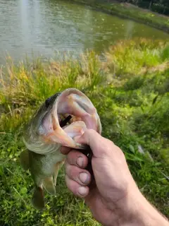
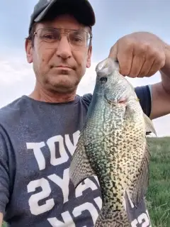
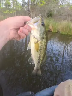
uploaded by: Mike Baron

uploaded by: Mike Baron

uploaded by: Mike Baron

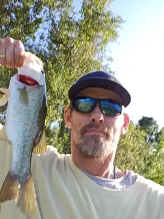
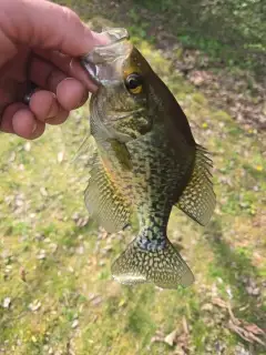
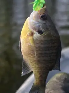
uploaded by: Bradley Wisdom

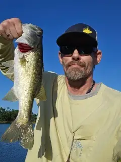
uploaded by: Bradley Wisdom

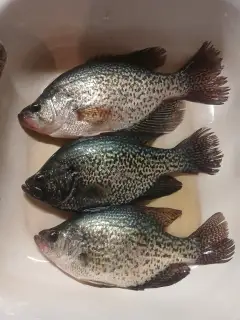
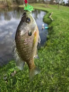
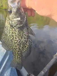
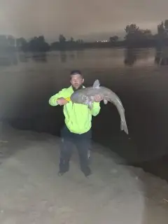
uploaded by: Joey Piercefield

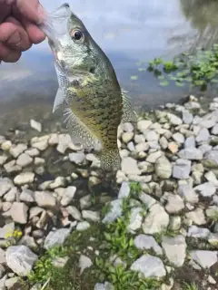
uploaded by: Joey Piercefield

uploaded by: Joey Piercefield

uploaded by: Joey Piercefield

uploaded by: Joey Piercefield
Best Fishing Spots in the greater Indian Pass area
Beaches and Bays are ideal places for land-based fishing. If the beach is shallow and the water is clear then twilight times are usually the best times, especially when they coincide with a major or minor fishing time. Often the points on either side of a beach are the best spots. Or if the beach is large then look for irregularities in the breaking waves, indicating sandbanks and holes. We found 7 beaches and bays in this area.
Money Beach - 2km , Bay San Blas - 3km , Lighthouse Bayou - 9km , Pig Bayou - 10km , Saint Joseph Bay - 14km , Big Bayou - 15km , Sheepshead Bayou - 17km
We found a total of 35 potential fishing spots nearby Indian Pass. Below you can find them organized on a map. Points, Headlands, Reefs, Islands, Channels, etc can all be productive fishing spots. As these are user submitted spots, there might be some errors in the exact location. You also need to cross check local fishing regulations. Some of the spots might be in or around marine reserves or other locations that cannot be fished. If you click on a location marker it will bring up some details and a quick link to google search, satellite maps and fishing times. Tip: Click/Tap on a new area to load more fishing spots.
Money Beach - 2km , Bay San Blas - 3km , Indian Lagoon - 3km , Indian Peninsula - 3km , Conch Island - 6km , Blacks Island - 7km , Cape San Blas - 9km , Lighthouse Bayou - 9km , Richardson Hammock - 10km , Pig Bayou - 10km , Saint Vincent Island - 11km , Pig Island - 11km , Oak Grove Bridge - 13km , Oyster Pond - 13km , Saint Joseph Bay - 14km , Lake Number Five - 14km , Lake Number 4 - 15km , Saint Joseph Peninsula - 15km , Lake Number 3 - 15km , Big Bayou - 15km , Back Slough - 16km , George G Tapper Bridge - 16km , Eagle Harbor - 16km , Lake Number 2 - 16km , Lake Number 1 - 16km , Lake Wimico - 17km , Paradise Point - 17km , Cabbage Top - 17km , Sheepshead Bayou - 17km , Saint Vincent Sound - 17km , Deadman Slough - 18km , Sand Island - 18km , Saint Vincent Point - 19km , Gulf County Canal - 19km , Palm Point - 19km
Comments