


Harmony 🇺🇸
-
Nautical Twilight begins:05:07 amSunrise:06:13 am
-
Sunset:08:00 pmNautical Twilight ends:09:06 pm
-
Moonrise:03:19 am
-
Moonset:12:33 pm
-
Moon over:07:56 am
-
Moon under:08:11 pm
-
Visibility:43%
-
 Third Quarter Moon
-
Distance to earth:380,892 kmProximity:58.2 %
Moon Phases for Harmony
-
average Day
-
minor Time:02:19 am - 04:19 am
-
major Time:06:56 am - 08:56 am
-
minor Time:11:33 am - 01:33 pm
-
major Time:
 07:11 pm -
09:11 pm
07:11 pm -
09:11 pm
| Date | Major Bite Times | Minor Bite Times | Sun | Moon | Moonphase |
|---|---|---|---|---|---|
|
Mon, 21 Apr
|
06:56 am -
08:56 am
07:11 pm -
09:11 pm
|
02:19 am -
04:19 am
11:33 am -
01:33 pm
|
R: 06:13 am S: 08:00 pm |
R: 03:19 am S: 12:33 pm |
Third Quarter Moon |
|
Tue, 22 Apr
|
07:48 am -
09:48 am
08:00 pm -
10:00 pm
|
02:48 am -
04:48 am
12:48 pm -
02:48 pm
|
R: 06:12 am S: 08:01 pm |
R: 03:48 am S: 01:48 pm |
Third Quarter Moon |
|
Wed, 23 Apr
|
08:38 am -
10:38 am
08:49 pm -
10:49 pm
|
03:12 am -
05:12 am
02:05 pm -
04:05 pm
|
R: 06:10 am S: 08:03 pm |
R: 04:12 am S: 03:05 pm |
Waning Crescent |
|
Thu, 24 Apr
|
09:28 am -
11:28 am
09:39 pm -
11:39 pm
|
03:34 am -
05:34 am
03:22 pm -
05:22 pm
|
R: 06:08 am S: 08:04 pm |
R: 04:34 am S: 04:22 pm |
Waning Crescent |
|
Fri, 25 Apr
|
10:18 am -
12:18 pm
10:30 pm -
12:30 am
|
03:55 am -
05:55 am
04:42 pm -
06:42 pm
|
R: 06:07 am S: 08:05 pm |
R: 04:55 am S: 05:42 pm |
Waning Crescent |
|
Sat, 26 Apr
|
11:11 am -
01:11 pm
10:58 pm -
12:58 am
|
04:18 am -
06:18 am
06:04 pm -
08:04 pm
|
R: 06:05 am S: 08:06 pm |
R: 05:18 am S: 07:04 pm |
New Moon |
|
Sun, 27 Apr
|
12:06 pm -
02:06 pm
11:51 pm -
01:51 am
|
04:43 am -
06:43 am
07:29 pm -
09:29 pm
|
R: 06:04 am S: 08:07 pm |
R: 05:43 am S: 08:29 pm |
New Moon |


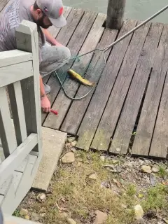
uploaded by: Stixy

uploaded by: Stixy

uploaded by: Stixy

uploaded by: Stixy

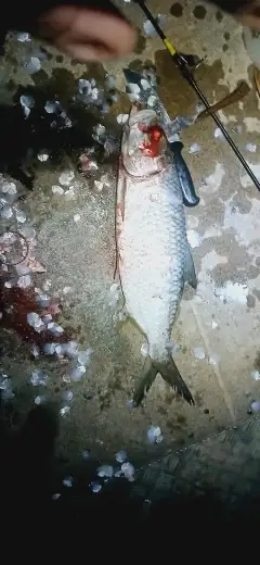
uploaded by: K Richard

uploaded by: Stixy

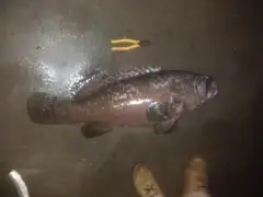
uploaded by: Joey Piercefield

uploaded by: Joey Piercefield

uploaded by: Joey Piercefield

uploaded by: Joey Piercefield
Best Fishing Spots in the greater Harmony area
We found a total of 14 potential fishing spots nearby Harmony. Below you can find them organized on a map. Points, Headlands, Reefs, Islands, Channels, etc can all be productive fishing spots. As these are user submitted spots, there might be some errors in the exact location. You also need to cross check local fishing regulations. Some of the spots might be in or around marine reserves or other locations that cannot be fished. If you click on a location marker it will bring up some details and a quick link to google search, satellite maps and fishing times. Tip: Click/Tap on a new area to load more fishing spots.
Miller Lange Pond Dam - 2km , East Willow Creek Dam - 8km , Florenceville Bridge - 12km , Ross Graves Dam - 12km , Rediske-Vatland Group Dam - 13km , Howard Ruen Detention Group Dam - 14km , H Ruen Dam - 14km , Hanning Brothers Group Pond Dam - 15km , Gilliece Bridge - 16km , Sorenson Group Dam - 18km , Lanesboro Dam - 18km , Upper Bluffton Bridge (historical) - 18km , Lower Bluffton Bridge - 19km , Horihan-Hazel Group Dam - 20km
Comments