


-
Nautical Twilight begins:Sunrise:
-
Sunset:Nautical Twilight ends:
-
Moonrise:
-
Moonset:
-
Moon over:
-
Moon under:
-
Visibility:14%
-
 Waning Crescent
-
Distance to earth:390,412 kmProximity:35.9 %
Moon Phases for Hagaman
-
good Day
-
minor Time:02:12 am - 04:12 am
-
major Time:08:54 am - 10:54 am
-
minor Time:03:36 pm - 05:36 pm
-
major Time:09:27 pm - 11:27 pm
Tide Clock
Tide Graph
Times
| Tide | Time | Height |
|---|---|---|
| high | 02:21 am | 4.72 ft |
| low | 09:05 am | -0.2 ft |
| high | 03:01 pm | 4.36 ft |
| low | 09:25 pm | 0.1 ft |
Wind Speed and Direction
Wind Direction:
Wind Speed:
Wind Direction and Speed are one of the most important aspects for choosing a fishing spot. An offshore wind can help land-based anglers with longer casting distances, while an onshore wind will make kayak fishing safer. Often fish will also move to certain feeding areas depending on the wind direction. Check out the long term wind forecast at the charts below.
Fishing Barometer
Atmospheric Pressure:
Change since midnight:
Trend for next 6 hours:
Atmospheric or Barometric Pressure affects fish activity. The best fishing can be had on a rising barometer and also the time just before it is falling. A steady barometer in the higher ranges can also mean good fishing. A falling or low barometer reading without much change is usually not a very good time for fishing.
UV Effect on Fishing
As a rule of thumb, the higher the UV index, the deeper fish will move. Shallow water fishing is best done at times with a low UV index. When the UV is high, stick to early mornings, late evenings and shaded areas. The effect is less noticable in deeper water, but often a higher UV index can produce good results in the deep.
| Date | Major Bite Times | Minor Bite Times | Sun | Moon | Moonphase | Tide Times |
|---|---|---|---|---|---|---|
|
|
-
-
|
-
-
|
R: S: |
R: S: |
Waning Crescent |
high:
, 4.72 ft
, Coeff: 109
low:
, -0.2 ft
high:
, 4.36 ft
, Coeff: 95
low:
, 0.1 ft
|
|
|
-
-
|
-
-
|
R: S: |
R: S: |
Waning Crescent |
high:
, 4.63 ft
, Coeff: 106
low:
, -0.26 ft
high:
, 4.63 ft
, Coeff: 106
low:
, 0 ft
|
|
|
-
-
|
-
-
|
R: S: |
R: S: |
New Moon |
high:
, 4.53 ft
, Coeff: 102
low:
, -0.26 ft
high:
, 4.82 ft
, Coeff: 113
low:
, -0.07 ft
|
|
|
-
-
|
-
-
|
R: S: |
R: S: |
New Moon |
high:
, 4.4 ft
, Coeff: 96
low:
, -0.23 ft
high:
, 4.99 ft
, Coeff: 120
low:
, -0.1 ft
|
|
|
-
-
|
-
-
|
R: S: |
R: S: |
New Moon |
high:
, 4.27 ft
, Coeff: 91
low:
, -0.13 ft
high:
, 5.12 ft
, Coeff: 125
|
|
|
-
-
|
-
-
|
R: S: |
R: S: |
New Moon |
low:
, -0.1 ft
high:
, 4.13 ft
, Coeff: 86
low:
, -0 ft
high:
, 5.15 ft
, Coeff: 127
|
|
|
-
-
|
-
-
|
R: S: |
R: S: |
Waxing Crescent |
low:
, -0.03 ft
high:
, 4.04 ft
, Coeff: 82
low:
, 0.13 ft
high:
, 5.18 ft
, Coeff: 128
|
Best Fishing Spots in the greater Hagaman area
We found a total of 40 potential fishing spots nearby Hagaman. Below you can find them organized on a map. Points, Headlands, Reefs, Islands, Channels, etc can all be productive fishing spots. As these are user submitted spots, there might be some errors in the exact location. You also need to cross check local fishing regulations. Some of the spots might be in or around marine reserves or other locations that cannot be fished. If you click on a location marker it will bring up some details and a quick link to google search, satellite maps and fishing times. Tip: Click/Tap on a new area to load more fishing spots.
Healy Kill - 2.55361932155km , Kellogg Pond - 5.12317910709km , Bunn Creek - 5.2925615561km , McLachlan Pond - 5.52332453218km , North Chuctanunda Creek - 6.08472636512km , Bronson Island - 6.18166709372km , South Chuctanunda Creek - 6.1950310208km , Dove Creek - 6.24234830756km , Davey Island - 6.34002352031km , Giording Island - 6.62685855737km , Degraff Creek - 6.67207662706km , Robb Island - 6.81915377485km , Terwilleger Creek - 7.03333327016km , Evas Kill - 7.07568167874km , Flitzpatrick Creek - 7.29947377322km , Kayaderosseras Creek - 7.84644553358km , Cummings Pond - 8.01814966555km , McQueen Creek - 8.02390813813km , Consalus Vly - 8.19564577863km , Chase Vly - 8.29748978848km , Pepper Island - 8.53847697578km , Compaanen Kill - 9.04159670861km , Swart Island - 9.09486769295km , Upper Pepper Island - 9.50438651218km , Chase Vly Creek - 9.73548362391km , Skinner Creek - 10.26197513175km , Kennyetto Creek - 10.63295059311km , Ludlow Swamp - 10.78669922627km , Chaughtanoonda Creek - 10.83650691174km , Chambers Brook - 11.15760754754km , Sandsea Kill - 11.6797988392km , Fallentree Kill - 11.97032784109km , Shafers Brook - 12.10615146755km , Cadman Creek - 12.13166179922km , Schoharie Creek - 12.4105980502km , Pittock Brook - 12.55673250843km , North Frenchman Creek - 12.69143631409km , Verf Kill - 13.10656579793km , Crabb Kill - 13.28410169896km , Scout Island - 13.3715481067km

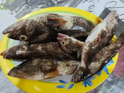
uploaded by: tajiran

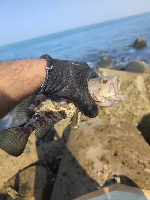
uploaded by: tajiran

uploaded by: tajiran

uploaded by: tajiran

uploaded by: Chad_1

uploaded by: Chad_1

uploaded by: Ali Providence

uploaded by: Ali Providence

uploaded by: Grunter Hunter

uploaded by: TrishPTW somethihgfishy


Comments