Flanders 🇺🇸
-
Nautical Twilight begins:05:06 amSunrise:06:08 am
-
Sunset:07:33 pmNautical Twilight ends:08:34 pm
-
Moonrise:11:37 pm
-
Moonset:07:38 am
-
Moon over:03:17 am
-
Moon under:03:37 pm
-
Visibility:88%
-
 Waning Gibbous
-
Distance to earth:401,700 kmProximity:9.4 %
Moon Phases for Flanders
-
average Day
-
major Time:02:17 am - 04:17 am
-
minor Time:06:38 am - 08:38 am
-
major Time:02:37 pm - 04:37 pm
-
minor Time:10:37 pm - 12:37 am
Tide Clock
Tide Graph
Times
| Tide | Time | Height |
|---|---|---|
| high | 02:36 am | 3.18 ft |
| low | 09:28 am | 0.16 ft |
| high | 03:13 pm | 2.46 ft |
| low | 09:20 pm | 0.62 ft |
| Date | Major Bite Times | Minor Bite Times | Sun | Moon | Moonphase | Tide Times |
|---|---|---|---|---|---|---|
|
Wed, 16 Apr
|
02:17 am -
04:17 am
02:37 pm -
04:37 pm
|
06:38 am -
08:38 am
10:37 pm -
12:37 am
|
R: 06:08 am S: 07:33 pm |
R: 11:37 pm S: 07:38 am |
Waning Gibbous |
high: 02:36 am
, 3.18 ft
, Coeff: 118
low: 09:28 am
, 0.16 ft
high: 03:13 pm
, 2.46 ft
, Coeff: 73
low: 09:20 pm
, 0.62 ft
|
|
Thu, 17 Apr
|
03:06 am -
05:06 am
03:26 pm -
05:26 pm
|
07:17 am -
09:17 am
11:35 pm -
01:35 am
|
R: 06:06 am S: 07:34 pm |
R: - S: 08:17 am |
Waning Gibbous |
high: 03:19 am
, 3.15 ft
, Coeff: 116
low: 10:14 am
, 0.26 ft
high: 03:59 pm
, 2.43 ft
, Coeff: 71
low: 10:03 pm
, 0.69 ft
|
|
Fri, 18 Apr
|
03:50 am -
05:50 am
04:17 pm -
06:17 pm
|
08:06 am -
10:06 am
11:35 pm -
01:35 am
|
R: 06:05 am S: 07:35 pm |
R: 12:35 am S: 09:06 am |
Waning Gibbous |
high: 04:06 am
, 3.12 ft
, Coeff: 114
low: 11:04 am
, 0.33 ft
high: 04:48 pm
, 2.4 ft
, Coeff: 69
low: 10:56 pm
, 0.75 ft
|
|
Sat, 19 Apr
|
04:46 am -
06:46 am
05:09 pm -
07:09 pm
|
12:28 am -
02:28 am
09:04 am -
11:04 am
|
R: 06:03 am S: 07:36 pm |
R: 01:28 am S: 10:04 am |
Third Quarter Moon |
high: 04:57 am
, 3.02 ft
, Coeff: 108
low: 11:57 am
, 0.36 ft
high: 05:40 pm
, 2.4 ft
, Coeff: 69
low: 11:59 pm
, 0.75 ft
|
|
Sun, 20 Apr
|
05:41 am -
07:41 am
06:00 pm -
08:00 pm
|
01:13 am -
03:13 am
10:10 am -
12:10 pm
|
R: 06:02 am S: 07:37 pm |
R: 02:13 am S: 11:10 am |
Third Quarter Moon |
high: 05:52 am
, 2.95 ft
, Coeff: 104
low: 12:51 pm
, 0.39 ft
high: 06:36 pm
, 2.46 ft
, Coeff: 73
|
|
Mon, 21 Apr
|
06:35 am -
08:35 am
06:51 pm -
08:51 pm
|
01:50 am -
03:50 am
11:20 am -
01:20 pm
|
R: 06:00 am S: 07:38 pm |
R: 02:50 am S: 12:20 pm |
Third Quarter Moon |
low: 01:04 am
, 0.69 ft
high: 06:51 am
, 2.85 ft
, Coeff: 98
low: 01:45 pm
, 0.36 ft
high: 07:33 pm
, 2.62 ft
, Coeff: 83
|
|
Tue, 22 Apr
|
07:27 am -
09:27 am
07:41 pm -
09:41 pm
|
02:22 am -
04:22 am
12:33 pm -
02:33 pm
|
R: 05:59 am S: 07:39 pm |
R: 03:22 am S: 01:33 pm |
Third Quarter Moon |
low: 02:06 am
, 0.56 ft
high: 07:53 am
, 2.79 ft
, Coeff: 93
low: 02:35 pm
, 0.33 ft
high: 08:30 pm
, 2.85 ft
, Coeff: 98
|


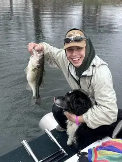
uploaded by: Daniel_1

uploaded by: Daniel_1

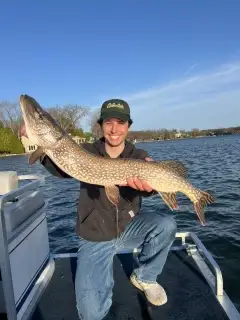
uploaded by: Brian Wyman

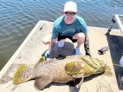
uploaded by: Aromas

uploaded by: Aromas

uploaded by: Greg Caldwell

uploaded by: Greg Caldwell

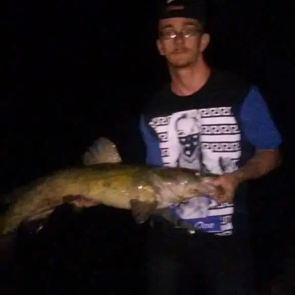
uploaded by: Hoza
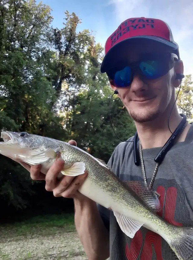
uploaded by: Stephen Spencer 1
uploaded by: Stephen Spencer 1
Best Fishing Spots in the greater Flanders area
Beaches and Bays are ideal places for land-based fishing. If the beach is shallow and the water is clear then twilight times are usually the best times, especially when they coincide with a major or minor fishing time. Often the points on either side of a beach are the best spots. Or if the beach is large then look for irregularities in the breaking waves, indicating sandbanks and holes. We found 11 beaches and bays in this area.
Reeves Bay - 1km , Flanders Bay - 3km , Tiana Bay - 9km , Great Peconic Bay - 11km , Quantuck Bay - 11km , Hampton Beach - 11km , Moneyboque Bay - 12km , Tiana Beach - 12km , Shinnecock Bay - 13km , Westhampton Beach - 13km , Bullhead Bay - 15km
Harbours and Marinas can often times be productive fishing spots for land based fishing as their sheltered environment attracts a wide variety of bait fish. Similar to river mouths, harbour entrances are also great places to fish as lots of fish will move in and out with the rising and falling tides. There are 6 main harbours in this area.
Riverhead Yacht Club - 2km, Riverside Marina - 3km, Riverhead Moose Lodge 1742 Marina and Yacht Club - 3km, Treasure Cove Resort Marina - 4km, Shinnecock County Marina - 10km, Stevens Park Yacht Basin - 11km
We found a total of 99 potential fishing spots nearby Flanders. Below you can find them organized on a map. Points, Headlands, Reefs, Islands, Channels, etc can all be productive fishing spots. As these are user submitted spots, there might be some errors in the exact location. You also need to cross check local fishing regulations. Some of the spots might be in or around marine reserves or other locations that cannot be fished. If you click on a location marker it will bring up some details and a quick link to google search, satellite maps and fishing times. Tip: Click/Tap on a new area to load more fishing spots.
Reeves Bay - 1km , Colonels Island - 2km , Goose Creek Point - 2km , Iron Point - 2km , Riverhead Yacht Club - 2km , Flanders Bay - 3km , Indian Island - 3km , Riverside Marina - 3km , Riverhead Moose Lodge 1742 Marina and Yacht Club - 3km , Miamogue Lagoon - 4km , Sears Pond - 4km , Simmons Point - 4km , Treasure Cove Resort Marina - 4km , Cedar Pond - 5km , Cheney Pond - 5km , Division Pond - 5km , House Pond - 5km , Merritts Pond - 5km , Miamogue Point - 5km , Penny Pond - 5km , Red Cedar Point - 5km , Sweezy Pond - 5km , Wildwood Lake - 5km , Bellows Pond - 6km , Grass Pond - 6km , Red Creek Pond - 6km , Browns Point - 7km , Alcotts Pond - 8km , Brushs Point - 8km , Hampton Point - 8km , Phillips Creek - 8km , Squire Pond - 8km , Swan Pond - 8km , Jacobs Point - 9km , Penniman Cove - 9km , Phillips Point - 9km , Pine Neck Point - 9km , Stone Creek - 9km , Tiana Bay - 9km , West Point - 9km , East Point - 10km , Hallocks Pond - 10km , Laurel Lake - 10km , Lily Pond - 10km , Ogden Pond - 10km , Penniman Creek - 10km , Roanoke Point - 10km , Sedge Island - 10km , Shinnecock Canal - 10km , Smith Creek - 10km , Wells Creek - 10km , Shinnecock County Marina - 10km , Quioque Point - 10km , Bennett Cove - 11km , Conoe Lake - 11km , Cormorant Point - 11km , Great Peconic Bay - 11km , Lanes Island - 11km , Quantuck Bay - 11km , Quogue Canal - 11km , Stevens Park Yacht Basin - 11km , Exchange Point - 11km , Hampton Beach - 11km , Westhampton Island - 11km , Post Lane Bridge - 11km , Apacuck Point - 12km , Moneyboque Bay - 12km , Oneck - 12km , Ponquogue Bridge - 12km , Ponquogue Point - 12km , Potunk Point - 12km , Quantuck Canal - 12km , Reedy Island - 12km , Tanner Neck - 12km , Tiana Beach - 12km , Warner Islands - 12km , Cold Spring Pond - 13km , Marratooka Point - 13km , Marratooka Pond - 13km , Mattituck Inlet - 13km , Picket Point - 13km , Pond Point - 13km , Shinnecock Bay - 13km , Speonk Point - 13km , Wolf Pit Lake - 13km , Westhampton Beach - 13km , Far Pond - 14km , Gunning Point - 14km , Hot Water Pond - 14km , Seatuck Cove - 14km , Sebonac Neck - 14km , Bullhead Bay - 15km , Cow Neck - 15km , Cow Neck Point - 15km , Havens Point - 15km , Kimogene Point - 15km , McKay Lake - 15km , Middle Pond - 15km , Old Fort Pond - 15km
Comments