El Jobean 🇺🇸
-
Nautical Twilight begins:05:58 amSunrise:06:50 am
-
Sunset:08:02 pmNautical Twilight ends:08:54 pm
-
Moonrise:08:04 am
-
Moonset:10:37 pm
-
Moon over:03:20 pm
-
Moon under:02:51 am
-
Visibility:5%
-
 Waxing Crescent
-
Distance to earth:366,045 kmProximity:93.1 %
Moon Phases for El Jobean
-
excellent Day
-
major Time:01:51 am - 03:51 am
-
minor Time:07:04 am - 09:04 am
-
major Time:02:20 pm - 04:20 pm
-
minor Time:09:37 pm - 11:37 pm
Tide Clock
Tide Graph
Times
| Tide | Time | Height |
|---|---|---|
| low | 12:01 am | -0.56 ft |
| high | 07:05 am | 1.15 ft |
| low | 10:09 am | 1.05 ft |
| high | 04:21 pm | 2.36 ft |
| Date | Major Bite Times | Minor Bite Times | Sun | Moon | Moonphase | Tide Times |
|---|---|---|---|---|---|---|
|
Tue, 29 Apr
|
01:51 am -
03:51 am
02:20 pm -
04:20 pm
|
07:04 am -
09:04 am
09:37 pm -
11:37 pm
|
R: 06:50 am S: 08:02 pm |
R: 08:04 am S: 10:37 pm |
Waxing Crescent |
low: 12:01 am
, -0.56 ft
high: 07:05 am
, 1.15 ft
, Coeff: 37
low: 10:09 am
, 1.05 ft
high: 04:21 pm
, 2.36 ft
, Coeff: 160
|
|
Wed, 30 Apr
|
02:51 am -
04:51 am
03:23 pm -
05:23 pm
|
08:01 am -
10:01 am
10:45 pm -
12:45 am
|
R: 06:49 am S: 08:03 pm |
R: 09:01 am S: 11:45 pm |
Waxing Crescent |
low: 12:56 am
, -0.59 ft
high: 05:02 pm
, 2.36 ft
, Coeff: 160
|
|
Thu, 01 May
|
03:51 am -
05:51 am
04:24 pm -
06:24 pm
|
09:04 am -
11:04 am
11:45 pm -
01:45 am
|
R: 06:49 am S: 08:03 pm |
R: 10:04 am S: - |
Waxing Crescent |
low: 01:57 am
, -0.49 ft
high: 05:50 pm
, 2.3 ft
, Coeff: 153
|
|
Fri, 02 May
|
04:57 am -
06:57 am
05:29 pm -
07:29 pm
|
10:10 am -
12:10 pm
11:45 pm -
01:45 am
|
R: 06:48 am S: 08:04 pm |
R: 11:10 am S: 12:45 am |
Waxing Crescent |
low: 03:03 am
, -0.39 ft
high: 06:46 pm
, 2.13 ft
, Coeff: 137
|
|
Sat, 03 May
|
05:55 am -
07:55 am
06:26 pm -
08:26 pm
|
12:37 am -
02:37 am
11:14 am -
01:14 pm
|
R: 06:47 am S: 08:04 pm |
R: 12:14 pm S: 01:37 am |
First Quarter Moon |
low: 04:13 am
, -0.26 ft
high: 07:55 pm
, 1.94 ft
, Coeff: 117
|
|
Sun, 04 May
|
06:47 am -
08:47 am
07:16 pm -
09:16 pm
|
01:19 am -
03:19 am
12:16 pm -
02:16 pm
|
R: 06:46 am S: 08:05 pm |
R: 01:16 pm S: 02:19 am |
First Quarter Moon |
low: 05:19 am
, -0.13 ft
high: 09:19 pm
, 1.74 ft
, Coeff: 97
|
|
Mon, 05 May
|
07:35 am -
09:35 am
08:03 pm -
10:03 pm
|
01:56 am -
03:56 am
01:14 pm -
03:14 pm
|
R: 06:46 am S: 08:05 pm |
R: 02:14 pm S: 02:56 am |
First Quarter Moon |
low: 06:16 am
, 0 ft
high: 01:54 pm
, 1.25 ft
, Coeff: 47
low: 05:22 pm
, 1.15 ft
high: 10:57 pm
, 1.57 ft
, Coeff: 80
|
")


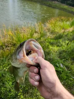
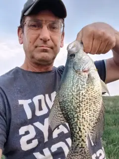
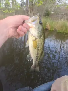
uploaded by: Mike Baron

uploaded by: Mike Baron

uploaded by: Mike Baron

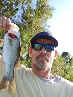
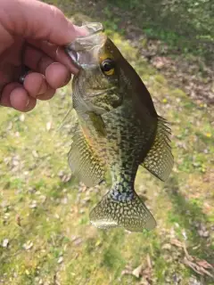
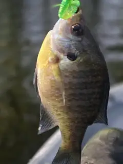
uploaded by: Bradley Wisdom

uploaded by: Bradley Wisdom

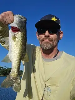
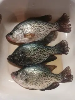
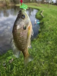
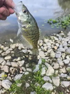
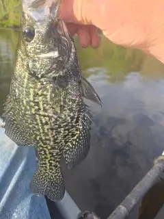
uploaded by: Joey Piercefield

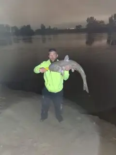
uploaded by: Joey Piercefield

uploaded by: Joey Piercefield

uploaded by: Joey Piercefield

uploaded by: Joey Piercefield
Best Fishing Spots in the greater El Jobean area
Beaches and Bays are ideal places for land-based fishing. If the beach is shallow and the water is clear then twilight times are usually the best times, especially when they coincide with a major or minor fishing time. Often the points on either side of a beach are the best spots. Or if the beach is large then look for irregularities in the breaking waves, indicating sandbanks and holes. We found 11 beaches and bays in this area.
Deerfly Bay - 3km , Tippecanoe Bay - 3km , Muddy Bay - 9km , Alligator Bay - 10km , Pebble Beach Creek - 10km , Redfish Bayou - 12km , Snook Bayou - 12km , Bayou Canal - 12km , Englewood Beach - 15km , Lemon Bay - 15km , Pelican Bay - 15km
Harbours and Marinas can often times be productive fishing spots for land based fishing as their sheltered environment attracts a wide variety of bait fish. Similar to river mouths, harbour entrances are also great places to fish as lots of fish will move in and out with the rising and falling tides. There are 8 main harbours in this area.
North Port - 9km, City of North Port - 10km, Ainger Creek Marina - 13km, Stump Pass Marina - 13km, Isles Yacht Club Marina - 14km, Fishermens Village Yacht Basin - 15km, Kettle Harbor - 15km, Yacht Basin - 15km
We found a total of 99 potential fishing spots nearby El Jobean. Below you can find them organized on a map. Points, Headlands, Reefs, Islands, Channels, etc can all be productive fishing spots. As these are user submitted spots, there might be some errors in the exact location. You also need to cross check local fishing regulations. Some of the spots might be in or around marine reserves or other locations that cannot be fished. If you click on a location marker it will bring up some details and a quick link to google search, satellite maps and fishing times. Tip: Click/Tap on a new area to load more fishing spots.
Ghost Point - 2km , Deerfly Bay - 3km , Muddy Cove - 3km , Point Lonesom - 3km , Tippecanoe Bay - 3km , Cattle Dock Point - 4km , Sioux Waterway - 4km , Hog Island - 6km , Myakka Cutoff - 6km , Triple Lakes - 6km , Lake Blueberry - 6km , Shoal Point - 7km , Sea Mist Waterway - 7km , Memorial Waterway - 7km , Locust Point - 8km , Mangrove Point - 8km , Butterford Waterway - 8km , March Waterway - 8km , Cocoplum Waterway - 9km , Little Alligator Creek - 9km , Muddy Bay - 9km , North Port - 9km , Troy Lake - 9km , Broadmoor Waterway - 9km , Gondolier Waterway - 9km , Lake Van - 9km , Long Meadow Creek - 9km , Alligator Bay - 10km , Morningstar Canal Bridge - 10km , City of North Port - 10km , Pinehurst Creek - 10km , Rotunda River - 10km , White Marsh Creek - 10km , Bass Lake - 10km , Lake Sturgeon - 10km , Lake Sunapee - 10km , Pebble Beach Creek - 10km , Pine Valley Creek - 10km , Grassy Point - 11km , Redfish Waterway - 11km , Catfish Waterway - 11km , Oakland Hills Creek - 11km , Ainger Creek Bridge - 12km , Little Salt Spring - 12km , Sunset Canal Bridge - 12km , Redfish Bayou - 12km , Snook Bayou - 12km , Bayou Canal - 12km , Juno Canal - 12km , Jupiter Canal - 12km , Lake Breeze Wood - 12km , Mars Canal - 12km , Minerva Canal - 12km , Palm Lake - 12km , Punta Gorda - 13km , Halfway Point - 13km , San Victoria Canal - 13km , Trinitie Canal - 13km , Boat Basin Canal - 13km , De Charles Canal - 13km , Eagle Nest Canal - 13km , Lake View Canal - 13km , Ainger Creek Marina - 13km , Stump Pass Marina - 13km , Cedar Point - 14km , Gottfried Creek Bridge - 14km , Point of Pines - 14km , Redfish Cove - 14km , Tom Adams Bridge - 14km , Amberjack Cove - 14km , Canal Number 1 - 14km , Canal Number 2 - 14km , Canal Number 3 - 14km , Lemon Lake - 14km , Isles Yacht Club Marina - 14km , Barron Collier Bridge - 15km , Bocilla Island - 15km , Don Pedro Island - 15km , Englewood Beach - 15km , Fishermens Village Yacht Basin - 15km , Gilcrist Bridge - 15km , Kettle Harbor - 15km , Knight Island - 15km , Knight Pass - 15km , Lemon Bay - 15km , Live Oak Point - 15km , Peterson Island - 15km , Sister Pond - 15km , Stump Pass - 15km , Thorton Key - 15km , Whidden Key - 15km , Yacht Basin - 15km , Blue Heron Cove - 15km , Bocilla Inlet - 15km , Captains Cut - 15km , Coral Cove - 15km , Galleon Cove - 15km , Palm Canal - 15km , Pelican Bay - 15km
Comments