Charlestown Beach 🇺🇸
-
Nautical Twilight begins:04:39 amSunrise:05:44 am
-
Sunset:07:43 pmNautical Twilight ends:08:48 pm
-
Moonrise:06:36 am
-
Moonset:10:41 pm
-
Moon over:02:38 pm
-
Moon under:02:12 am
-
Visibility:5%
-
 Waxing Crescent
-
Distance to earth:366,045 kmProximity:93.1 %
Moon Phases for Charlestown Beach
-
excellent Day
-
major Time:01:12 am - 03:12 am
-
minor Time:
 05:36 am -
07:36 am
05:36 am -
07:36 am
-
major Time:01:38 pm - 03:38 pm
-
minor Time:09:41 pm - 11:41 pm
Tide Clock
Tide Graph
Times
| Tide | Time | Height |
|---|---|---|
| low | 05:32 am | -0.49 ft |
| high | 10:56 am | 2.85 ft |
| low | 05:30 pm | 0 ft |
| high | 11:10 pm | 3.87 ft |
| Date | Major Bite Times | Minor Bite Times | Sun | Moon | Moonphase | Tide Times |
|---|---|---|---|---|---|---|
|
Tue, 29 Apr
|
01:12 am -
03:12 am
01:38 pm -
03:38 pm
|
05:36 am -
07:36 am
09:41 pm -
11:41 pm
|
R: 05:44 am S: 07:43 pm |
R: 06:36 am S: 10:41 pm |
Waxing Crescent |
low: 05:32 am
, -0.49 ft
high: 10:56 am
, 2.85 ft
, Coeff: 101
low: 05:30 pm
, 0 ft
high: 11:10 pm
, 3.87 ft
, Coeff: 166
|
|
Wed, 30 Apr
|
02:09 am -
04:09 am
02:40 pm -
04:40 pm
|
06:27 am -
08:27 am
10:53 pm -
12:53 am
|
R: 05:43 am S: 07:45 pm |
R: 07:27 am S: 11:53 pm |
Waxing Crescent |
low: 06:25 am
, -0.36 ft
high: 11:50 am
, 2.72 ft
, Coeff: 93
low: 06:24 pm
, 0.16 ft
|
|
Thu, 01 May
|
03:04 am -
05:04 am
03:39 pm -
05:39 pm
|
07:28 am -
09:28 am
11:51 pm -
01:51 am
|
R: 05:42 am S: 07:46 pm |
R: 08:28 am S: - |
Waxing Crescent |
high: 12:04 am
, 3.67 ft
, Coeff: 153
low: 07:21 am
, -0.16 ft
high: 12:48 pm
, 2.56 ft
, Coeff: 83
low: 07:23 pm
, 0.33 ft
|
|
Fri, 02 May
|
04:14 am -
06:14 am
04:50 pm -
06:50 pm
|
08:37 am -
10:37 am
11:51 pm -
01:51 am
|
R: 05:40 am S: 07:47 pm |
R: 09:37 am S: 12:51 am |
Waxing Crescent |
high: 01:03 am
, 3.41 ft
, Coeff: 137
low: 08:20 am
, 0.03 ft
high: 01:51 pm
, 2.46 ft
, Coeff: 76
low: 08:27 pm
, 0.49 ft
|
|
Sat, 03 May
|
05:13 am -
07:13 am
05:49 pm -
07:49 pm
|
12:37 am -
02:37 am
09:49 am -
11:49 am
|
R: 05:39 am S: 07:48 pm |
R: 10:49 am S: 01:37 am |
First Quarter Moon |
high: 02:06 am
, 3.12 ft
, Coeff: 118
low: 09:20 am
, 0.2 ft
high: 02:58 pm
, 2.43 ft
, Coeff: 74
low: 09:34 pm
, 0.59 ft
|
|
Sun, 04 May
|
06:05 am -
08:05 am
06:39 pm -
08:39 pm
|
01:11 am -
03:11 am
11:00 am -
01:00 pm
|
R: 05:38 am S: 07:49 pm |
R: 12:00 pm S: 02:11 am |
First Quarter Moon |
high: 03:15 am
, 2.85 ft
, Coeff: 101
low: 10:20 am
, 0.33 ft
high: 04:09 pm
, 2.46 ft
, Coeff: 76
low: 10:42 pm
, 0.62 ft
|
|
Mon, 05 May
|
06:52 am -
08:52 am
07:24 pm -
09:24 pm
|
01:38 am -
03:38 am
12:07 pm -
02:07 pm
|
R: 05:36 am S: 07:50 pm |
R: 01:07 pm S: 02:38 am |
First Quarter Moon |
high: 04:27 am
, 2.66 ft
, Coeff: 89
low: 11:17 am
, 0.43 ft
high: 05:14 pm
, 2.56 ft
, Coeff: 83
low: 11:46 pm
, 0.59 ft
|
")


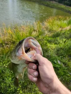
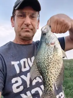
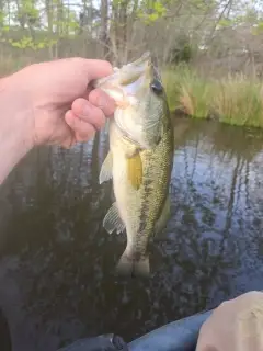
uploaded by: Mike Baron

uploaded by: Mike Baron

uploaded by: Mike Baron

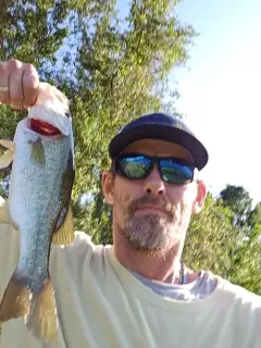
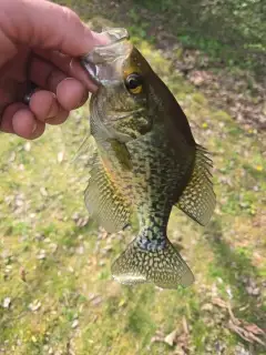
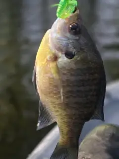
uploaded by: Bradley Wisdom

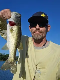
uploaded by: Bradley Wisdom

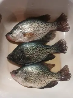
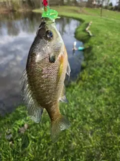
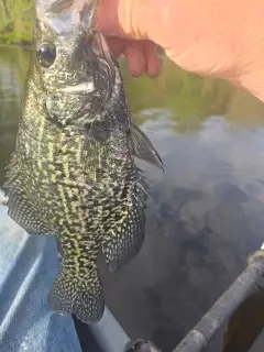
uploaded by: Joey Piercefield

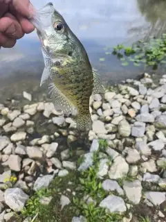
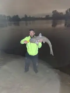
uploaded by: Joey Piercefield

uploaded by: Joey Piercefield

uploaded by: Joey Piercefield

uploaded by: Joey Piercefield
Best Fishing Spots in the greater Charlestown Beach area
Beaches and Bays are ideal places for land-based fishing. If the beach is shallow and the water is clear then twilight times are usually the best times, especially when they coincide with a major or minor fishing time. Often the points on either side of a beach are the best spots. Or if the beach is large then look for irregularities in the breaking waves, indicating sandbanks and holes. We found 11 beaches and bays in this area.
Charlestown Beach - 2km , Ninigret Beach - 2km , East Beach - 5km , Burlingame State Park Beach - 6km , Willow Dell Beach - 6km , Roy Carpenters Beach - 6km , A B Carpenters Beach - 7km , Matunuck Beach - 7km , Sam Ferretti Blue Shutters Town Beach - 7km , East Matunuck State Beach - 8km , Quonochontaug Beach - 9km
We found a total of 97 potential fishing spots nearby Charlestown Beach. Below you can find them organized on a map. Points, Headlands, Reefs, Islands, Channels, etc can all be productive fishing spots. As these are user submitted spots, there might be some errors in the exact location. You also need to cross check local fishing regulations. Some of the spots might be in or around marine reserves or other locations that cannot be fished. If you click on a location marker it will bring up some details and a quick link to google search, satellite maps and fishing times. Tip: Click/Tap on a new area to load more fishing spots.
Allen Cove - 0km , Stevens Island - 0km , Sagebed Island - 0km , Ram Island - 1km , Horseshoe Point - 1km , Hog Hill Island - 1km , High Neck - 1km , Heather Island - 1km , Green Hill Pond - 1km , Marsh Point - 1km , Gooseberry Island - 1km , Goose Island - 1km , Tuck Point - 1km , Children Cove - 1km , Ward Island - 1km , Limber Point - 2km , Twin Islands - 2km , Jacob Island - 2km , Sauks Island - 2km , The Hummocks - 2km , Potato Point - 2km , Hell Island - 2km , Harvey Island - 2km , Stub Point - 2km , Tautog Cove - 2km , Grassy Point - 2km , Governors Island - 2km , Perry Pond - 2km , Browning Isles (historical) - 2km , Marshneck Point - 2km , Browning Point - 2km , Bush Island - 2km , Cedar Island - 2km , Fort Neck - 2km , Flat Meadow Point - 2km , Flat Meadow Cove - 2km , Charlestown Beach - 2km , Charlestown Breachway - 2km , Ninigret Beach - 2km , Cross Mills Pond - 2km , King Tom Pond - 3km , Hannah Clarkin Pond - 3km , Hall Point - 3km , Green Hill Point - 3km , Factory Pond - 3km , Coon Cove - 3km , School House Pond - 4km , Bull Head Pond - 4km , Trustom Pond - 4km , Foster Cove - 4km , Ninigret Pond - 4km , Deep Pond - 4km , Mud Cove - 5km , Card Ponds - 5km , East Beach - 5km , Mill Pond - 5km , Reeds Point - 6km , Gould Neck - 6km , Burlingame State Park Beach - 6km , Willow Dell Beach - 6km , Pasquiset Pond - 6km , Roy Carpenters Beach - 6km , Watchaug Pond - 6km , A B Carpenters Beach - 7km , Seaweed Cove - 7km , Quonochontaug Neck - 7km , Matunuck Beach - 7km , Wash Pond - 7km , Sam Ferretti Blue Shutters Town Beach - 7km , Ram Point - 8km , Segar Cove - 8km , Lily Pond - 8km , Little Wash Pond - 8km , Spectacle Ponds - 8km , Long Pond - 8km , Squally Point - 8km , Sycamore Cove - 8km , Maple Lake - 8km , Gardner Island - 8km , Fresh Pond - 8km , Matunuck Point - 8km , East Matunuck State Beach - 8km , Meadow Point - 8km , Cedar Swamp Pond - 8km , Potter Pond - 8km , Round Pond - 8km , Perch Cove - 8km , Deep Hole - 8km , Whaleboat Point - 8km , Bills Island - 8km , Quonochontaug Pond - 8km , Stony Point - 9km , Horseshoe Falls Dam - 9km , Champlin Cove (historical) - 9km , Peddlers Pond - 9km , Hot House Pond - 9km , Quonochontaug Beach - 9km
Comments